
Building Trust in Carbon Markets Through Digital MRV
Bringing geospatial engineering, software, AI and Earth observation together to rethink how carbon projects are measured, verified and trusted.

Topic
Climate change and resilience, conservation, forests, water and weather.
Bringing geospatial engineering, software, AI and Earth observation together to rethink how carbon projects are measured, verified and trusted.

For many geospatial professionals, Earth observation begins with what they can see. Optical satellite imagery has become the backbone of mapping, environmental monitoring, agriculture, urban planning and disaster response because it presents the world in a way that feels familiar.
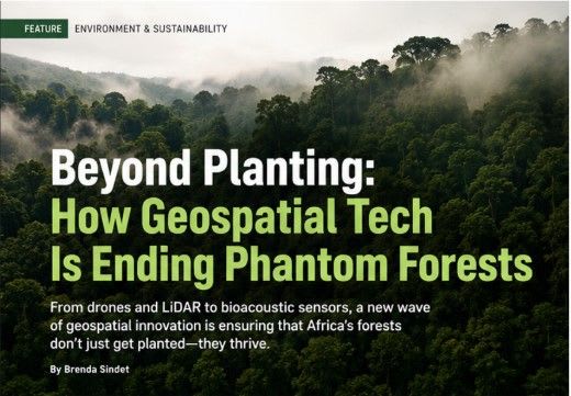
Every year millions of trees are planted, but how many survive? Discover how GIS, drones, satellite imagery, LiDAR and AI are helping conservationists detect phantom forests and monitor real ecosystem recovery across Africa.
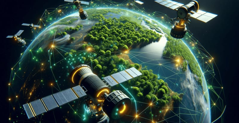
AI and ML are revolutionizing forest conservation by enabling real time monitoring of deforestation, wildlife protection and climate resilience. From satellite imagery and smart sensors to digital twins and predictive analytics, these technologies help conservationists make data driven decisions.
Discover how GIS, mapping, and spatial analytics are helping cities optimize waste management systems and improve environmental outcomes.
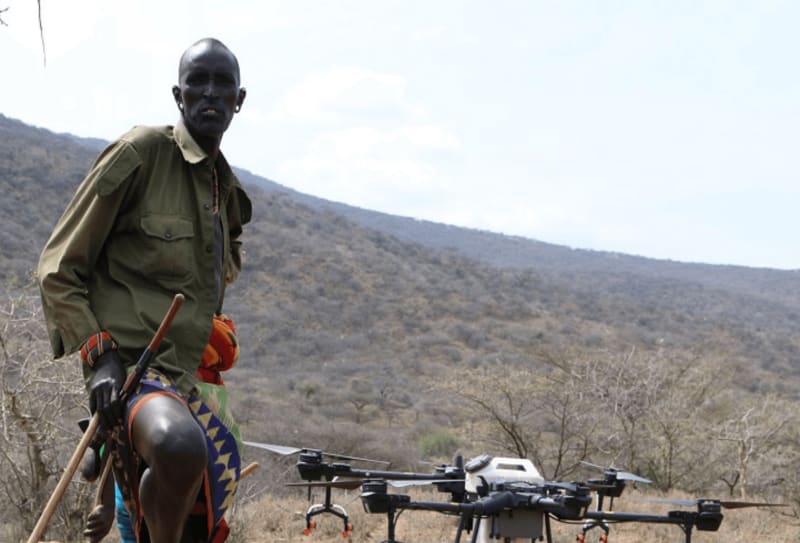
Discover how GIS, satellite imagery, and electrification models are helping Narok County identify cost-effective pathways to universal energy access.

Decades after Kenya's historic 1986 sessional paper on economic management, Nairobi faces an unprecedented vertical growth surge. As high-rise apartments crowd historic suburbs like Kilimani and Parklands, the city confronts a critical question: continue densifying upwards, or decentralize outward?

Sustainable land use planning integrates environmental conservation, urban development, and social well-being. Through innovative landscape architecture and projects such as Gardens by the Bay, cities can create resilient, livable, and ecologically balanced environments for future generations.
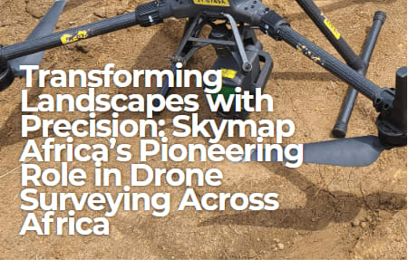
In a remarkable engineering feat across Gabon's dense forest canopies, Skymap Africa leveraged drone-mounted LiDAR and RTK systems to deliver critical topographic data for Hydroneo Engineering's renewable energy projects, demonstrating the power of precision spatial science.
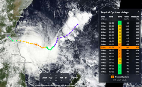
Explore the science behind cyclones, from atmospheric conditions and storm formation to their effects on lives, ecosystems, and disaster preparedness.
Using GIS, remote sensing, and hydrological modeling, this study examines the impact of decades of land-use change on groundwater recharge patterns in Central Ethiopia.

A gradient boosting model using free elevation, CORINE and OpenStreetMap data maps old-growth habitat across small private woodlands in Lower Saxony.
Source: Annals of Forest Science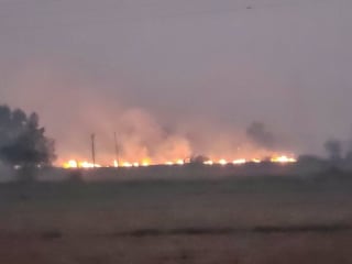
HARSAC says its satellite fire counts are accurate, but a ground visit in Karnal and Kaithal found stubble burning that the figures appeared to miss.
Source: The Tribune (India)
NASA's JPL has chosen Intuitive Machines' IM 300 bus for FALCON-RADAR, a polar-orbiting W-band radar satellite to study clouds and light rain, launching 2029 at the earliest.
Source: Intuitive Machines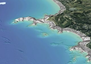
LINZ's survey aircraft are flying again from November 2026 to May 2027, capturing LiDAR data for up to 40 percent of New Zealand's coastline.
Source: Toitū Te Whenua Land Information New Zealand (LINZ)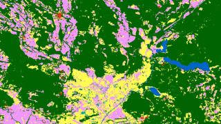
The MIT-licensed slandu toolkit summarises land cover, tree-cover loss and surface-water change locally, with no Earth Engine or API keys, and logs every run.
Source: Space Seed Holdings Inc. (GitHub)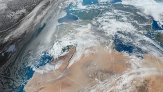
Satellite lidar suggests about 28 million tonnes of African dust reach the Amazon yearly, while ground-checked models give 8 to 10 million.
Source: The Watchers
BigData Ghana and Agbedus Consult will convene policymakers, investors and banks in Accra on 11–12 November to push spatial intelligence into decision-making.
Source: Financial Fortune Media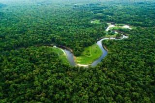
INPE's Prodes satellite data show 3,335 km² of Amazon forest cleared in the year to July 2026, a 42% fall and the lowest since records began in 1988.
Source: Mongabay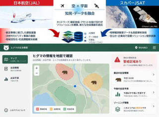
JAL and SKY Perfect JSAT will pair satellite imagery analytics with regional networks, starting with brown bear risk mapping for local governments in Japan.
Source: SKY Perfect JSAT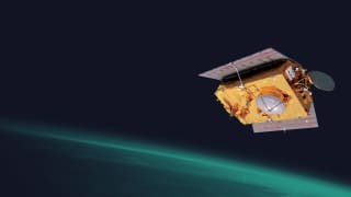
EUMETSAT has declared Sentinel-6B operational, continuing the satellite sea-level record into the 2030s with free data delivered within about three hours.
Source: EUMETSAT