
Space Seed Holdings releases open-source toolkit for local land-cover analysis
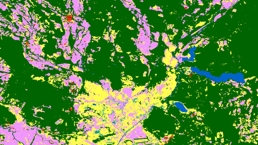
Japan's Space Seed Holdings (SSHD) published satellite-landuse-toolkit v1.0.0 on GitHub under the MIT licence on 13 September 2026, archived on Zenodo with a DOI. The Python package, slandu, tallies land cover, annual tree-cover loss and surface-water change for a user-defined area, given as GeoJSON or a bounding box.
It runs on a local machine with no Earth Engine account or API keys. Commands fetch tiles and analyse ESA WorldCover (10 m, 2021), Hansen Global Forest Change (2001–2025), JRC Global Surface Water (1984–2024) and two-date Sentinel-2 L2A bare-ground change.
Safeguards include halting when Sentinel-2 reflectance correction cannot be confirmed, counting only pixels valid on both dates, reporting tile coverage and writing run records for reproducibility. The code was written and reviewed by separate AI agents over six rounds and has 26 regression tests. The developers say none of the reviews validated dataset classification accuracy.
Why it matters: A free, account-free tool that records its settings lowers the barrier to reproducible land-cover and deforestation tallies, including for teams with limited cloud access. Its documentation also warns against over-reading map pixels as land use or tenure.