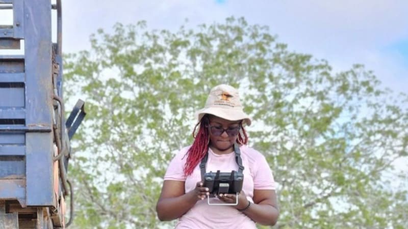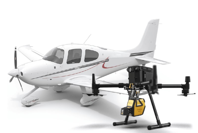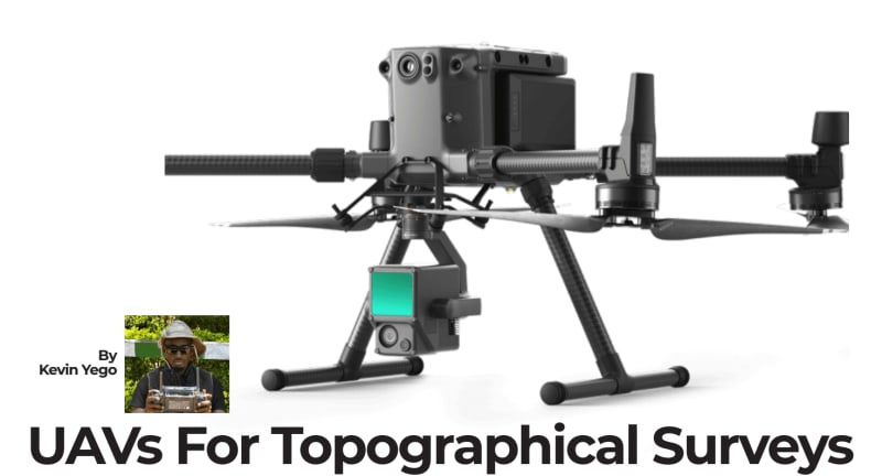
Beyond Flying Drones: How GEO AI Is Changing the Role of Modern Drone Professionals.
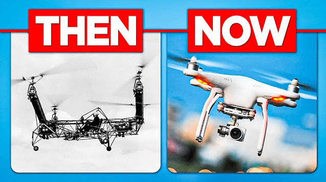
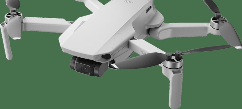
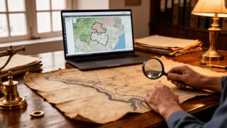
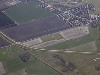
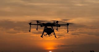
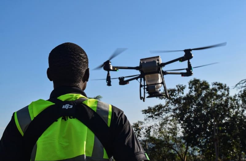
Drone technology is evolving beyond aerial photography. Learn how GeoAI, GIS, and spatial analytics are helping modern drone professionals transform imagery into actionable intelligence across agriculture, infrastructure, and environmental management.