For many geospatial professionals, Earth observation begins with what they can see. Optical satellite imagery has become the backbone of mapping, environmental monitoring, agriculture, urban planning and disaster response because it presents the world in a way that feels familiar. But what happens when clouds refuse to clear, when darkness falls, or when the most important changes are too subtle for the human eye to detect? That is where Synthetic Aperture Radar offers a different perspective.
Unlike optical sensors that depend on reflected sunlight, Synthetic Aperture Radar (SAR) actively transmits microwave signals and measures their return from the Earth’s surface. The technology can image landscapes regardless of cloud cover or time of day, making it one of the most powerful yet underutilised tools in modern remote sensing.
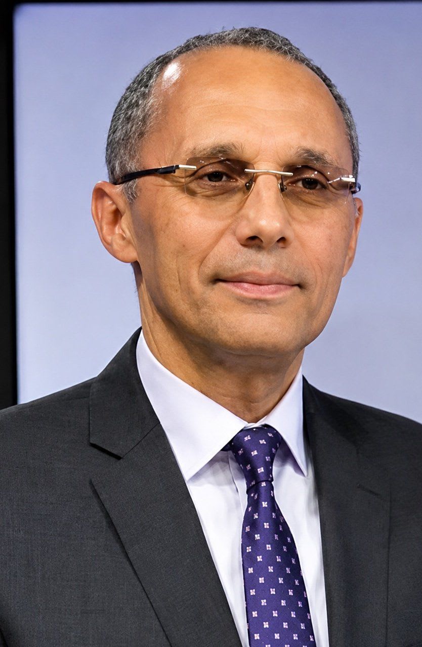
Few people have spent as much time explaining SAR’s practical value as Mohamed Omar M. Helmy. With more than 25 years of experience in remote sensing, Earth observation and geospatial information systems, Helmy has established himself as both a technical expert and an educator. Through his widely followed #SAR_Story series on LinkedIn, he translates complex radar concepts into practical lessons, helping geospatial professionals understand how SAR can monitor everything from infrastructure development and mining activities to subtle ground deformation that might otherwise go unnoticed.
In a conversation with Afrospatial Magazine, Helmy discusses why SAR deserves far greater attention, why Africa has yet to fully embrace its potential, and why, even in the age of artificial intelligence, human expertise remains irreplaceable.
Looking Beyond Flood Mapping
Ask most GIS professionals about Synthetic Aperture Radar, and the answer is often immediate: flood mapping. While SAR has become an indispensable tool for disaster response, Helmy believes this narrow association has overshadowed the technology’s much broader capabilities.
“SAR is a complex technology. As we go deeper into its analysis, we gain more insights and additional measurements about the Earth’s surface.”
For Helmy, the real strength of radar lies in its ability to monitor gradual physical change. “SAR gives more information when business sectors are closely related to surface movement and surface roughness changes, such as earthworks, excavation, construction and mining activities.”
Unlike optical imagery, which primarily captures how the Earth’s surface appears, SAR responds to its physical characteristics. Changes in terrain, soil disturbance, construction progress and excavation alter the way microwave signals scatter back to the satellite, allowing analysts to identify changes that conventional imagery may overlook. This capability makes SAR especially valuable for industries where monitoring change over time is just as important as mapping the landscape itself.
Seeing Through What Others Can’t
Every remote sensing technology has its strengths, but weather has always been one of optical imagery’s greatest limitations. Clouds, smoke, haze and darkness can interrupt data acquisition precisely when timely information is needed most. Helmy explains that this is where radar becomes the preferred choice.
“Whenever we have bad weather conditions, we directly move to radar remote sensing techniques.”
That simple statement captures one of SAR’s greatest advantages. Because radar sensors generate their own energy rather than relying on sunlight, they can continue collecting observations during the day, at night and through cloud cover.
However, Helmy is careful not to present SAR as a replacement for optical imagery. Instead, he sees the two technologies as complementary. While optical imagery excels at visual interpretation, SAR contributes additional information about terrain characteristics, surface roughness, moisture and the physical properties of the landscape. Together, they provide a richer understanding of the Earth’s changing landscapes.
“Whenever we have bad weather conditions, we directly move to radar remote sensing techniques.” — Mohamed Helmy
Africa Has the Data. What It Needs Is Awareness.
With free Sentinel-1 imagery available to users around the world, access to radar data is no longer the challenge it once was. Yet adoption across much of Africa remains relatively limited. Helmy believes the issue lies elsewhere.
“The biggest barrier is whether we have enough awareness to fully understand SAR capabilities, SAR technologies and how we can utilise them for specific applications.”
His observation highlights a wider issue within geospatial education. While many university programmes introduce students to optical remote sensing, radar often receives comparatively little attention. As a result, many professionals enter the workforce without the confidence to interpret SAR imagery or integrate it into operational workflows. Building technical capacity, therefore, may be just as important as launching new satellites.
Agriculture and Mining Are Ready for SAR
Among the sectors Helmy believes could benefit most from wider SAR adoption are agriculture and mining.
“Agriculture and mining both involve long-term activities. Crop planting seasons may last six months or more until harvesting, while mining operations can continue for years.”
Continuous monitoring allows governments, businesses and environmental agencies to understand how these landscapes evolve over time. Helmy also points to SAR’s growing importance in regulatory oversight. “Governments rely on SAR to monitor activities and detect illegal actions on the ground.”
As countries seek more sustainable approaches to resource management, the ability to monitor large areas consistently, regardless of weather conditions, offers a significant operational advantage.
Can Artificial Intelligence Understand Radar?
Artificial intelligence is rapidly transforming geospatial analysis, automating tasks that once required days of manual interpretation. SAR, however, remains a significant challenge for AI.
“SAR is complex data. Until now, AI has not been able to fully utilise SAR technology in an automated process. There are still trials, innovations and competency development taking place.”
Unlike optical imagery, radar data reveals information about targets through variations in their radar cross-section (RCS), which are influenced by surface geometry, roughness and the dielectric properties of different materials. These interactions are highly complex, making them considerably harder for AI systems to interpret consistently. Rather than replacing analysts, AI is increasingly becoming a powerful assistant that accelerates processing while still relying on expert review.
Why Experts Still Matter
Despite rapid advances in automation, Helmy believes experienced analysts remain essential to successful SAR interpretation.
“We have complicated SAR geometry phenomena that make interpretation challenging. Human experts are still needed to review and confirm the final deliverables.”
He also notes that analysts can misunderstand what radar data represents at different stages of processing. “If we are processing SAR amplitude, it may be visualised as linear data. Sometimes we need to analyse it as sigma naught values in decibels.” Without understanding these transformations, even experienced GIS professionals can misinterpret the results.
For Helmy, technology may continue to evolve, but sound scientific interpretation will always depend on people who understand the physics behind the imagery.
Measuring Change That Humans Cannot See
Perhaps SAR’s greatest scientific strength is its ability to detect extremely small changes over time. Helmy explains that radar offers more than one approach to change detection.
“In SAR technology we have visible data, SAR amplitude, that can be used for amplitude change detection. We also have invisible data, SAR phase, that can be extracted to detect very tiny Earth changes far beyond human visual capabilities.”
Those tiny changes, often measured in millimetres, allow scientists to monitor land subsidence, slope instability, infrastructure deformation and geological hazards long before they become visible. It is this precision that continues to make SAR indispensable for long-term monitoring.
Building the Digital Twins of Tomorrow
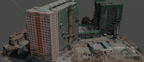
Digital twins are becoming central to infrastructure management, combining engineering, mapping and Earth observation into continuously updated digital models. Helmy believes SAR will play an increasingly important role in this evolution.
“When we talk about digital twins, our mission is to document every possible piece of information about the features we study: lengths, areas, heights, connectivity, materials, textures and topography.”
Radar contributes information that complements optical imagery, LiDAR and field surveys. “SAR plays an essential role in confirming material types and terrain profiles.” As infrastructure projects become increasingly data-driven, integrating multiple Earth observation technologies will be essential for creating accurate digital representations.
The Next Decade of Earth Observation
Commercial SAR constellations are expanding rapidly, offering increasingly frequent revisit times that make continuous monitoring possible. Helmy believes this will fundamentally change how infrastructure is managed.
“When we have SAR constellations operating with forty to fifty radar satellites in orbit, they will provide the availability and revisit times needed to monitor infrastructure on a weekly or monthly basis.”
For governments, engineers and planners, this means moving away from occasional inspections towards continuous observation. The future of Earth observation will not depend on a single sensor. It will depend on combining radar, optical imagery, LiDAR, artificial intelligence and field data to develop a unified understanding of our changing planet.
And if Mohamed Helmy’s message is any indication, the greatest challenge ahead is not building better satellites. It is ensuring that more geospatial professionals understand what those satellites are already capable of revealing.