The Central African Republic introduces the use of geospatial data to assess the impacts of climate change.
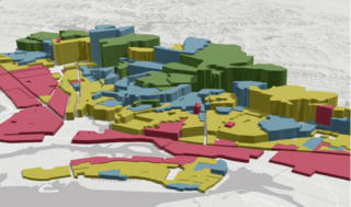
A new World Bank report has highlighted the importance of geospatial data in climate change adaptation, prompting greater use of GIS technologies in the Central African Republic to assess environmental risks and vulnerabilities.