
JAL and SKY Perfect JSAT ally to use satellite data on regional problems
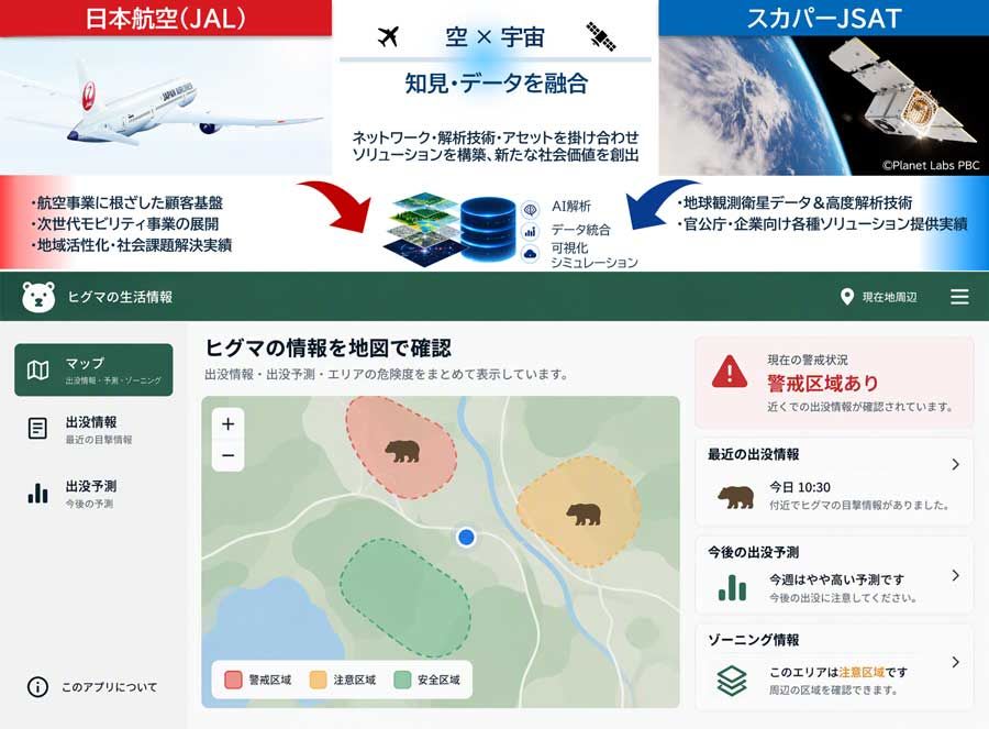
Japan Airlines (JAL) and SKY Perfect JSAT signed a basic business alliance agreement on 29 October 2026 to tackle regional problems and build new businesses using satellite data. SKY Perfect JSAT contributes Earth observation data from optical, SAR and thermal infrared satellites plus analytics, while JAL adds aviation safety expertise and its regional networks.
The first theme under study is preventing harm from wildlife, notably brown bears, entering populated areas. Vegetation and other environmental information from satellite imagery would be used to map conditions linked to the risk of animal appearances, with the results offered to local governments. Interviews with local authorities and related bodies are done, and demonstration plans are under way.
The partners will research needs, build solutions, run demonstrations with public and private bodies, and then develop business models. Later areas could include disaster prevention, forest management, environmental monitoring and infrastructure management.
Why it matters: The alliance shows Earth observation analytics being packaged as preventive risk-mapping services for local authorities, with vegetation-based habitat indicators as a template. The approach could transfer to human-wildlife conflict work elsewhere, though the announcement itself concerns Japan only.