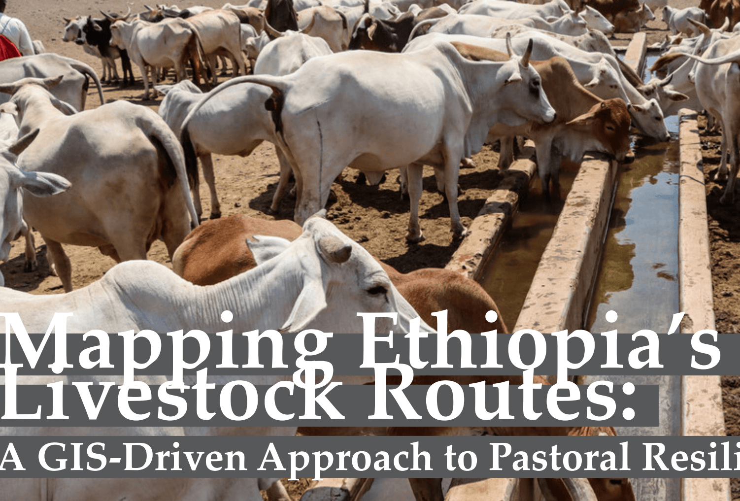
Mapping Ethiopia's Livestock Routes
Explore how GIS and mapping technologies are helping document livestock corridors and support sustainable pastoral systems in Ethiopia.

Topic
Precision farming, crop and livestock monitoring and food security.
Explore how GIS and mapping technologies are helping document livestock corridors and support sustainable pastoral systems in Ethiopia.
With global food demands requiring a 70% increase in output by 2050 amidst vanishing arable plots, precision smart farming steps in. Analyze how UAV deployment overcome classic satellite revisit rates and cloud limitations.
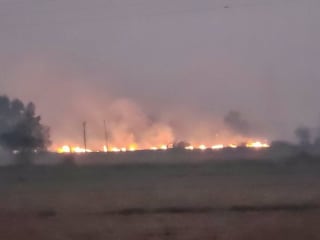
HARSAC says its satellite fire counts are accurate, but a ground visit in Karnal and Kaithal found stubble burning that the figures appeared to miss.
Source: The Tribune (India)
A Mamba-based model using Sentinel-2 and crop growth parameters estimates seed maize yields in Gansu with an R2 of 0.78, ahead of Transformer, LSTM and XGBoost.
Source: Bioengineer.org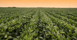
A physics-guided deep learning model treats satellite viewing-angle effects as crop-structure signals, reaching R² of 0.69 for soybean yields across 613 US counties.
Source: Newswise
USDA and NASA agreed to work on using satellite data, cloud access and validated methods to improve US crop acreage, yield and disaster-impact estimates.
Source: U.S. Department of Agriculture
USDA and NASA have agreed to use satellite data, geospatial analytics and AI to sharpen US crop acreage and yield estimates under a five-year MOU.
Source: NASA
A university and a space institute will build reusable digital twin infrastructure for Australian farming, starting with a A$465,000 pasture and weed project.
Source: Spatial SourceAlliance Bioversity-CIAT and CGIAR ran a first workshop with KNBS on spatial analytics for crop mapping, climate risk and SDG indicators.
Source: Tech Review Africa
Satellite data has flagged 30,000 more hectares for farming in Uzbekistan's Kashkadarya region, alongside canal lining, pump upgrades and drone-sown fodder crops.
Source: UzA (Uzbekistan National News Agency)Arkansas researchers found free 10-metre Sentinel-2 imagery captures crop-response trends similar to drone and commercial data, helping target fertiliser.
Source: Arkansas Agricultural Experiment Station (University of Arkansas Division of Agriculture)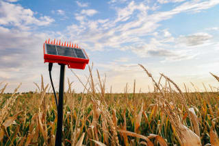
A USDA-funded project across 45 farms in three US states is checking OpenET satellite water-use estimates against field sensors, and finds they are not yet daily-ready.
Source: High Plains Journal