Topic

GeoAI & Data

Artificial intelligence, machine learning, big data and cloud platforms applied to geospatial problems.

Articles

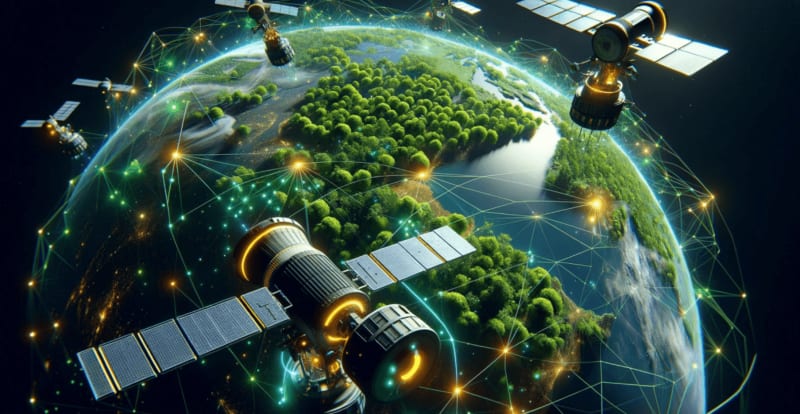
How AI/ML is Revolutionizing the Conservation of Forests

Christine Wahome

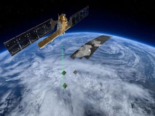
AI and ML are revolutionizing forest conservation by enabling real time monitoring of deforestation, wildlife protection and climate resilience. From satellite imagery and smart sensors to digital twins and predictive analytics, these technologies help conservationists make data driven decisions.

Applications of AI/ML in GIS: Transforming Geospatial Analysis

Gerald Nyanjua Amolo

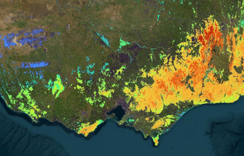
The integration of AI and Machine Learning with GIS is driving a paradigm shift. From automated land use classification via CNNs to real-time tracking of Amazonian deforestation and predictive disaster mapping, intelligent GIS is evolving into our most proactive tool for global sustainability.

News