In the heart of Kenya’s Rift Valley lies Narok County, a sprawling landscape of golden savannahs, rolling hills, and the iconic Maasai Mara, a global treasure teeming with wildlife and cultural heritage. But beyond its postcard-perfect vistas, Narok is a microcosm of a challenge that reverberates across sub-Saharan Africa: the quest for universal energy access. As of April 2025, millions of Africans still live in the shadows of unreliable or nonexistent electricity, a reality that stifles economic growth, dims educational opportunities, and dims the promise of modernity. Yet, in Narok, a quiet revolution is underway, one powered not just by ambition, but by cutting-edge geospatial technology and a commitment to inclusive, data-driven energy planning.
Enter the World Resources Institute (WRI), a global research powerhouse that’s been turning big ideas into actionable change for over four decades. In a groundbreaking case study published on their site, “Application of GIS in Sub-National Energy Planning in Kenya”, WRI, alongside partners like Strathmore University and local stakeholders, has harnessed Geographic Information Systems (GIS) to map out a brighter, electrified future for Narok County. This isn’t just a technical exercise; it’s a story of innovation meeting necessity, of satellites and solar panels converging to illuminate homes, schools, and clinics in one of Kenya’s most dynamic regions.
The Energy Gap: A Continental Challenge with Local Roots
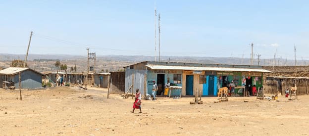
Across sub-Saharan Africa, the energy access gap is staggering. The International Energy Agency (IEA) reports that over 600 million people lack electricity, with rural areas bearing the brunt of this deficit. Kenya, often hailed as an East African success story, has made strides. Electrification rates have soared from 16% in 2005 to over 50% by 2019, according to Kenya National Bureau of Statistics (KNBS) data. Yet, beneath these national averages lies a patchwork of progress. In counties like Narok, where pastoralist communities roam alongside burgeoning urban centers, the grid often stops short, leaving vast swathes of the population reliant on kerosene lamps or nothing at all.
Narok’s energy landscape is as diverse as its terrain. Home to over a million people, the county blends semi-arid plains with pockets of fertile farmland. Its population density varies wildly, from the bustling streets of Narok Town to remote villages where the hum of a generator is a rare luxury. Historically, extending the national grid to such areas has been a costly gamble. Transmission lines stretch thin across rugged landscapes, and the return on investment for utilities can feel like a distant dream. Enter off-grid solutions: solar home systems, mini-grids, and renewable innovations that promise to leapfrog traditional infrastructure. But where to start? How do you prioritize when resources are finite and needs are infinite?
GIS: The Cartographer of Change
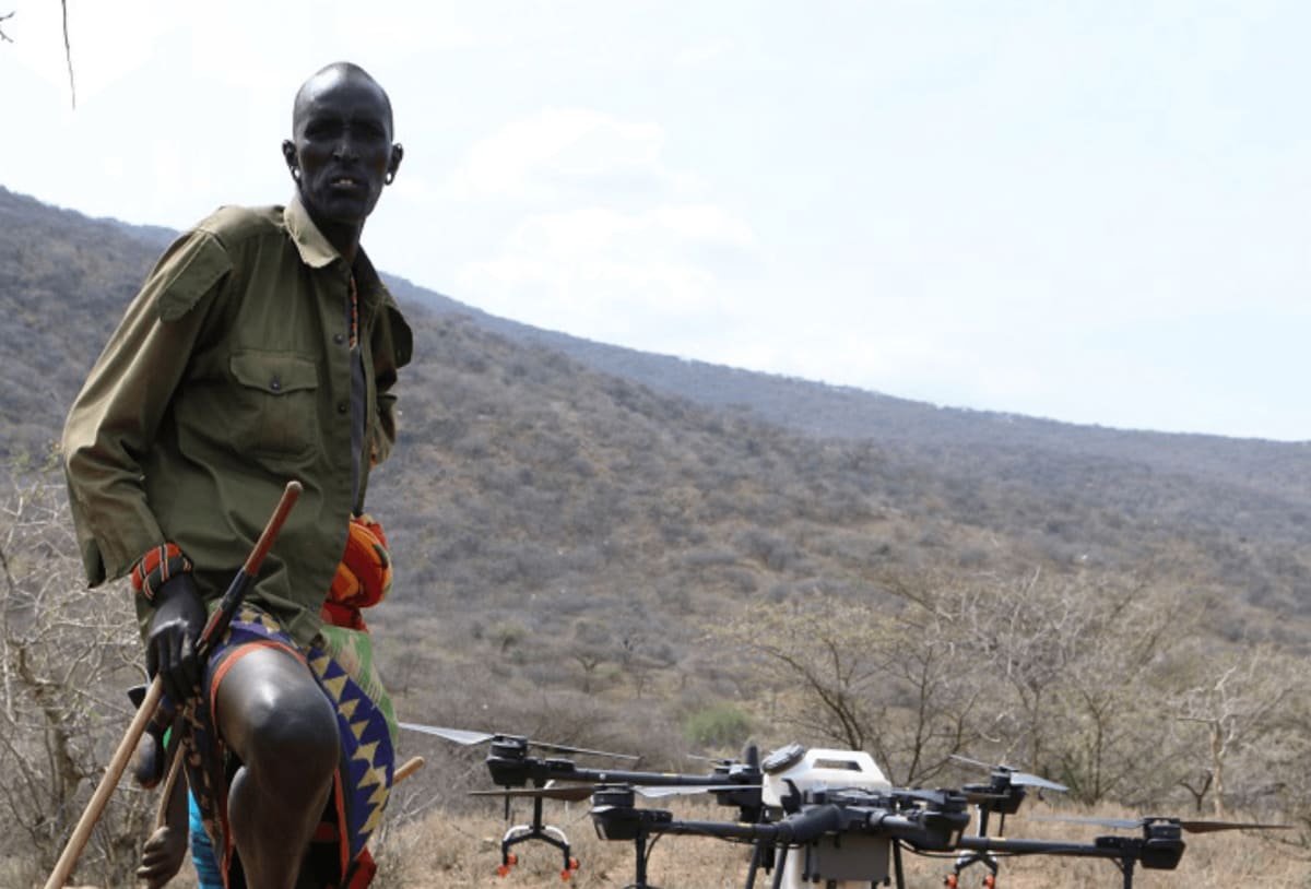
This is where GIS steps in, a tool as transformative as it is unassuming. For the uninitiated, GIS is the science of mapping. Think Google Maps on steroids, layered with data on everything from population density to solar potential. In Narok, WRI’s team wielded GIS like a modern-day compass, integrating primary data into a least-cost electrification model called OnSSET (Open Source Spatial Electrification Tool). The result? A blueprint that doesn’t just guess where power should go, it knows.
The process began with a data treasure hunt. WRI and its partners scoured Narok for ground-truth insights, collecting primary data on households, businesses, and infrastructure. They tapped into open-source platforms like Energy Access Explorer (EAE), a WRI brainchild that aggregates geospatial datasets, think population maps, power lines, and renewable resource availability, into a user-friendly interface.
Satellite imagery revealed solar and wind potential, while field surveys pinpointed unserved communities. The team layered this with national data on transmission lines and substations, creating a vivid, multi-dimensional portrait of Narok’s energy ecosystem.
What emerged was a revelation. In Kilgoris, a rural hub in western Narok, GIS analysis showed high population density paired with ample solar irradiance, perfect for off-grid solar systems. Meanwhile, near the Maasai Mara, sparse settlements and challenging terrain pointed to mini-grids as the smarter bet. OnSSET crunched the numbers, weighing costs against impact to recommend a mix of grid extensions and decentralized renewables. It’s a Goldilocks approach: not too broad, not too narrow, but just right for Narok’s unique needs.
Narok’s Energy Awakening
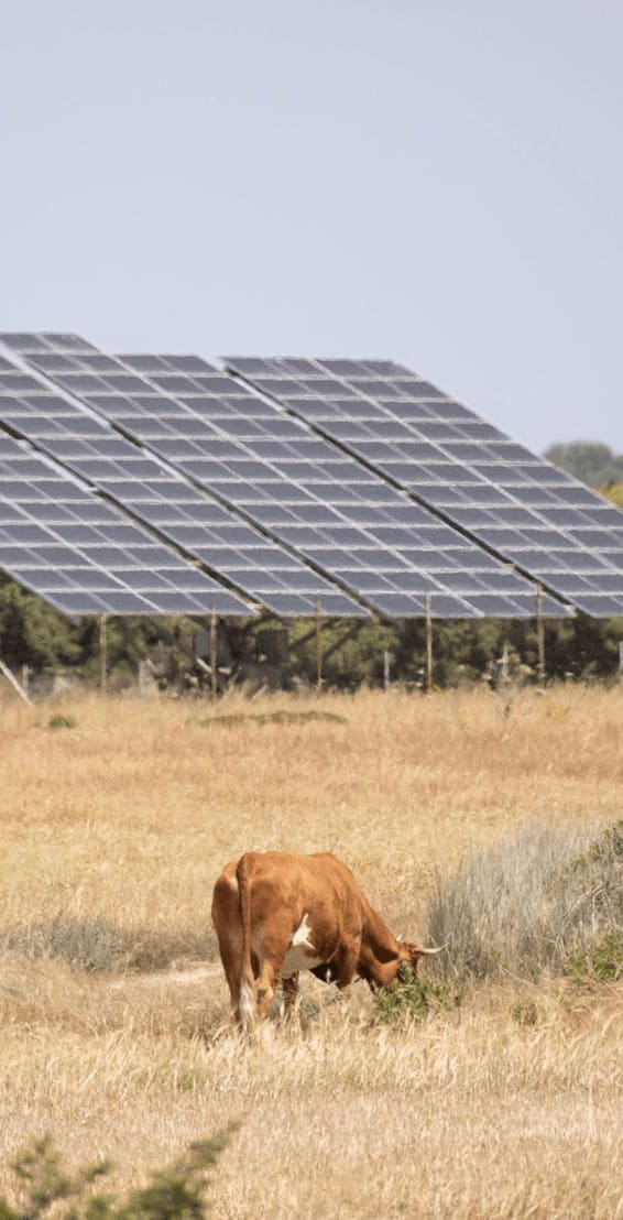
The implications are profound. Take healthcare, a lifeline in any community. Narok’s clinics, often powered by flickering diesel generators, can now look to solar panels for reliable electricity keeping vaccines cold and lights on during emergencies. Schools, too, stand to gain; imagine students studying past dusk, their futures no longer tethered to daylight hours. For farmers and small businesses, from maize growers to Maasai bead artisans, affordable power could mean new machinery, better storage, and a ticket to broader markets.
This isn’t pie-in-the-sky optimism, it’s happening. Kenya’s Energy Act of 2019 mandates that all 47 counties develop their own energy plans, a devolved approach that recognizes local context as king. Narok is among the pioneers, joining a handful of counties like Makueni, where WRI has also flexed its GIS muscle. In Makueni, a solar PV system at the county referral hospital now offsets a third of its energy needs, saving millions of shillings annually. Narok’s plan, still unfolding, promises similar wins, with GIS ensuring every watt is strategically placed.
Beyond Narok: A Blueprint for Africa
Zoom out, and Narok’s story is a microcosm of Africa’s energy renaissance. The continent is at a crossroads, with renewable energy poised to redefine its trajectory. Solar, wind, and hydropower abound. Kenya alone boasts some of the highest solar potential globally, with Narok’s sunny plains a case in point. Yet, the challenge isn’t just resources; it’s coordination.
Too often, energy planning has been a top-down affair, with national grids chasing urban centers while rural hinterlands languish. GIS flips the script, empowering sub-national governments to take the reins.
WRI’s work in Narok builds on a broader legacy. Since launching Energy Access Explorer in 2019, the platform has expanded to seven countries, from Tanzania to Nepal, training over 1,000 stakeholders to wield geospatial tools. In Uganda, it’s pinpointed hydropower hotspots; in Ethiopia, it’s informed electrification financing.
The ethos is open-source and collaborative, data isn’t hoarded but shared, inviting local governments, entrepreneurs, and donors to co-create solutions. For Narok, this meant partnering with Strathmore University’s energy experts and Narok’s own county officials, ensuring the plan wasn’t just imported but homegrown.
The Human Element
Behind the maps and models are people. Pastoralists herding cattle under the equatorial sun, mothers cooking over smoky fires, kids dreaming of lives beyond their villages. Energy access isn’t just about wires and watts; it’s about dignity, opportunity, and resilience. In Narok, where climate change looms large, droughts parching fields and floods upending lives, clean energy offers a buffer. Solar-powered irrigation could sustain crops; mini-grids could keep communities connected when storms hit.
The numbers back this up. The IEA estimates that universal energy access by 2030 could lift 670 million Africans out of energy poverty, boosting GDP and slashing carbon emissions. Kenya’s off-grid solar boom, 19% of homes solar-powered by 2019, shows what’s possible when innovation meets intent.
Narok’s GIS-driven plan is a stepping stone, proving that sub-national action can scale up to national impact.
The Road Ahead
Of course, challenges remain. Funding is a perennial hurdle. Geospatial wizardry doesn’t pay for itself, and Narok’s ambitions need investment from government coffers, private players, and international donors. Capacity, too, is a bottleneck; only six Kenyan counties have completed energy plans since 2019, with 30 yet to start. WRI’s training efforts aim to bridge this gap, but scaling up requires political will and grassroots momentum.
Still, Narok shines as a beacon. It’s a testament to what happens when technology meets tenacity, when global expertise dances with local knowledge. For Afrospatial readers, it’s a call to action: Africa’s energy future isn’t a distant dream, it’s being mapped, modeled, and built, one county at a time. In Narok, the lights are flickering on, and with GIS as the guide, they’re here to stay.