
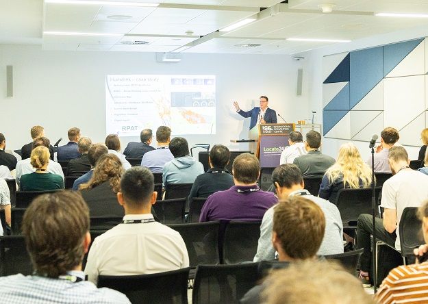
Locate26 Conference: Comprehensive Program Details for Geospatial Professionals
The combined 10th Digital Earth Summit / Locate26 Conference is coming up in just three weeks, from the 24th to the 26th of November, at the Melbourne Convention & Exhibition Centre.
This year’s speaker program is perhaps the most comprehensive it has ever been, with many dozens of sessions covering numerous geospatial topics.
The first day of the conference kicks off with a session on, appropriately, the future of the geospatial sector. The panel will include high-level leaders from around Australia:
Dr Stuart Minchin, Director of the Bureau of Meteorology
Brett Bundock, Group Managing Director, Esri Australia
Ana Belgun, Co-founder and CEO of Terria
Jannat Maqbool, Interim Head of Business Development, AURIN
Melissa Harris, CEO, Geoscience Australia
This session will also include a special presentation by Prof. Huadong Guo, Honorary President of the International Society for Digital Earth (ISDE), who will speak about Digital Earth transformation.
The day will split into streams, of which there are multiple! The morning streams are:
Spatial Data & Innovation, including hyperspectral Earth observation and the evolution of Australia’s address foundation (G-NAF);
Digital Earth & Sustainable Development, including modelling coastal protection afforded by mangroves and saltmarsh;
ASIERA Research Transforming Geospatial with AI, including geospatial reasoning as the next frontier in AI;
Measurement, Positioning and Survey Innovation, including integrating spatial reasoning and LLMs;
Spatial Innovation & Digital Transformation, including building the Australia Climate Service portal and vibe coding an urban operating system;
From Imagery to Intelligence, including building climate resilience with near-real-time geospatial AI; and
Spatial Analytics & AI, including leveraging AI in the workplace to drive productivity.
The afternoon streams will cover:
Digital Earth & Smart Environments, including 3D/4D mapping and AIi-driven spatio-temporal updating for urban renewal;
Environmental Risk & Resilience, including an integrated operational framework for real-time urban flood prediction;
ASIERA Research Semantically Enriched Environment, including modelling horizontal and vertical topological relationships in 3D cadastre using JSON-FG;
Surveying Practice & Professional Standards, including an alternative framework for registration and realising the goals of Automatic Deemed Registration;
Geospatial Enablement & Impact, including expanding geospatial literacy, and geospatial collaboration supporting a fair and just Treaty;
Positioning & Spatial Integration, including a multidimensional complexity index for comparable LiDAR point clouds; and
Spatial Platforms & Data Delivery, including a cloud-native solution for imagery base map delivery.
The afternoon will also feature a panel session on industry disruption and start-ups, with five panellists including Shoabi Iqbal (Esper Satellites) and Prof. Allison Kealy (Director of the Innovative Planet Research Institute, Swinburne University).
That’ll be followed by the presentation of awards and a networking drinks event put on Geospatial Sciences Victoria.
Day 2 program highlights
The second day of the conference will begin with a business forum featuring a range of leaders from Australian companies and organisations:
Alan Smart, ACIL Allen
Bruce Baker, Sales Director ANZ, Hexagon Geosystems
Dean Capobianco, CEO, Geoscape
Eloise Thaisen, Geospatial delivery leader, Altavec
Maree Wilson, Chief of Place and Communities Division, Geoscience Australia
Prof Andy Koronios, CEO and Managing Director, Australasian Space Innovation Institute
That’ll be followed by what promises to be a very interesting panel discussion that will bring together four of Australia’s Surveyors-General:
Bradley Slape (South Australia)
Craig Sandy (Victoria)
Dione Bilick (Western Australia)
Greg Ledwidge (Australian Capital Territory)
The day will then split into its streams, with the morning streams being as follows:
Water Systems & Spatial Intelligence, including 3D visualisation and dynamic representation for Digital Earth;
GeoAI & Machine Learning, including improving operational crop mapping in Queensland;
ASIERA Research Improved Building Management, including usability of virtual reality for visualising 3D strata lots in NSW;
Modern Surveying & Spatial Data, including mapping individual building heights with spaceborne LiDAR and multi-source data;
Building Trusted Spatial Data, including modernising the Vicmap Basemap Platform for scale, reliability and innovation;
Building the Future Geospatial Workforce, including adapting geospatial science education in the age of AI; and
Spatial Data for Decision Making, including a study of geometric complexity in operational geospatial systems.
The afternoon streams will be:
Digital Twins & Spatial Modelling, including Digital Twins for Scalable 3D Urban Environmental Simulation;
Earth Observation for Environmental Applications, including large-area crop mapping using satellite Earth observation and machine learning;
ASIERA Research AI-ready Solutions For Environmental Sustainability, including a geospatial framework for urban climate action;
Land Administration & Surveying Innovation, including digital plan lodgement – advancing spatial validation for a modern cadastre;
Managing Spatial Data for Better Outcomes, including parcel-based land use mapping and change detection in Victoria;
Spatial Data for Better Decisions, including Inner West Council’s quest to make spatial data the decision tool of choice; and
Earth Observation & Spatial Modelling, including integrating backpack LiDAR and Landsat for mangrove biomass estimation.
The day will conclude with a final panel session titled ‘Capacity building and setting roadmap for what’s next,’ featuring a large panel of high-level experts:
Tony Spicci, Executive Director, GIS Certification Institute
Steven Jacoby, Executive Director, Spatial Information, Queensland Department of Natural Resources and Mines, Manufacturing and Regional and Rural Development
A/Prof Petra Helmholz, Curtin University
Dr Zhen Liu, Secretary General, International Society for Digital Earth
Major Joe Cleary, Capability Manager, Australian Defence Force
Alexandra Wong, Geospatial Analyst and Consultant, Woolpert
Prof Sisi Zlatanova, Head of Grid Lab, UNSW
And the day will be rounded off with the official closing ceremony, presided by Prof Dr Zaffar Sadiq Mohamed-Ghouse, the event’s Convenor and ISDE Councillor, and Prof. Changlin Wang, Vice President, ISDE.