
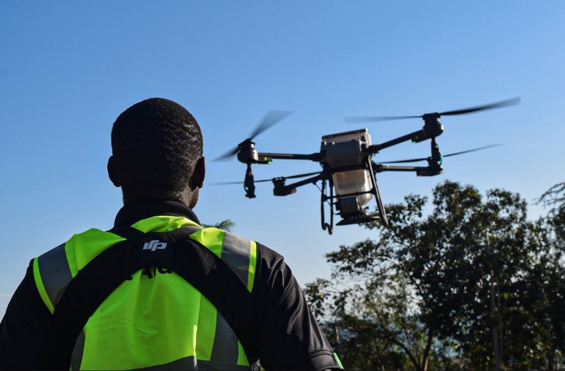
For many people, drones are still viewed primarily as flying machines used to capture images and videos. However, after several years working in surveying, GIS, remote sensing, and now managing drone operations at Victory Farms, I have come to realize that the true value of drone technology lies not in the aircraft itself, but in the intelligence that can be extracted from the data it collects.
The drone industry is undergoing a major transformation. Advances in artificial intelligence, geospatial analytics, and open-source platforms such as the QGIS are changing how organizations collect, process, and use spatial information. As a result, the role of the drone professional is evolving from data collector to data analyst and decision-support specialist.
My Journey from Surveying to Drone Intelligence
My professional foundation is in land surveying and GIS, where accuracy, spatial analysis, and data interpretation have always been critical. When I transitioned into drone operations, I quickly discovered that collecting imagery was only the first step. Today, a single drone mission can produce thousands of images, high-resolution orthomosaics, elevation models, point clouds, and multispectral datasets. The challenge is no longer obtaining data. The challenge is transforming that data into actionable insights.
This is where GEO AI is becoming a game changer.
What GEO AI Means for Drone Operations
GEO AI combines artificial intelligence with geospatial data to automate analysis, identify patterns, and generate insights from large spatial datasets. Instead of manually interpreting imagery, modern workflows can now:
Detect and classify objects automatically, Monitor environmental changes over time, Identify vegetation stress before it becomes visible, Generate predictive models from spatial data, Support faster and more informed operational decisions, For drone teams, this significantly reduces the time required to move from data collection to actionable recommendations.
Why QGIS Remains One of My Preferred Tools
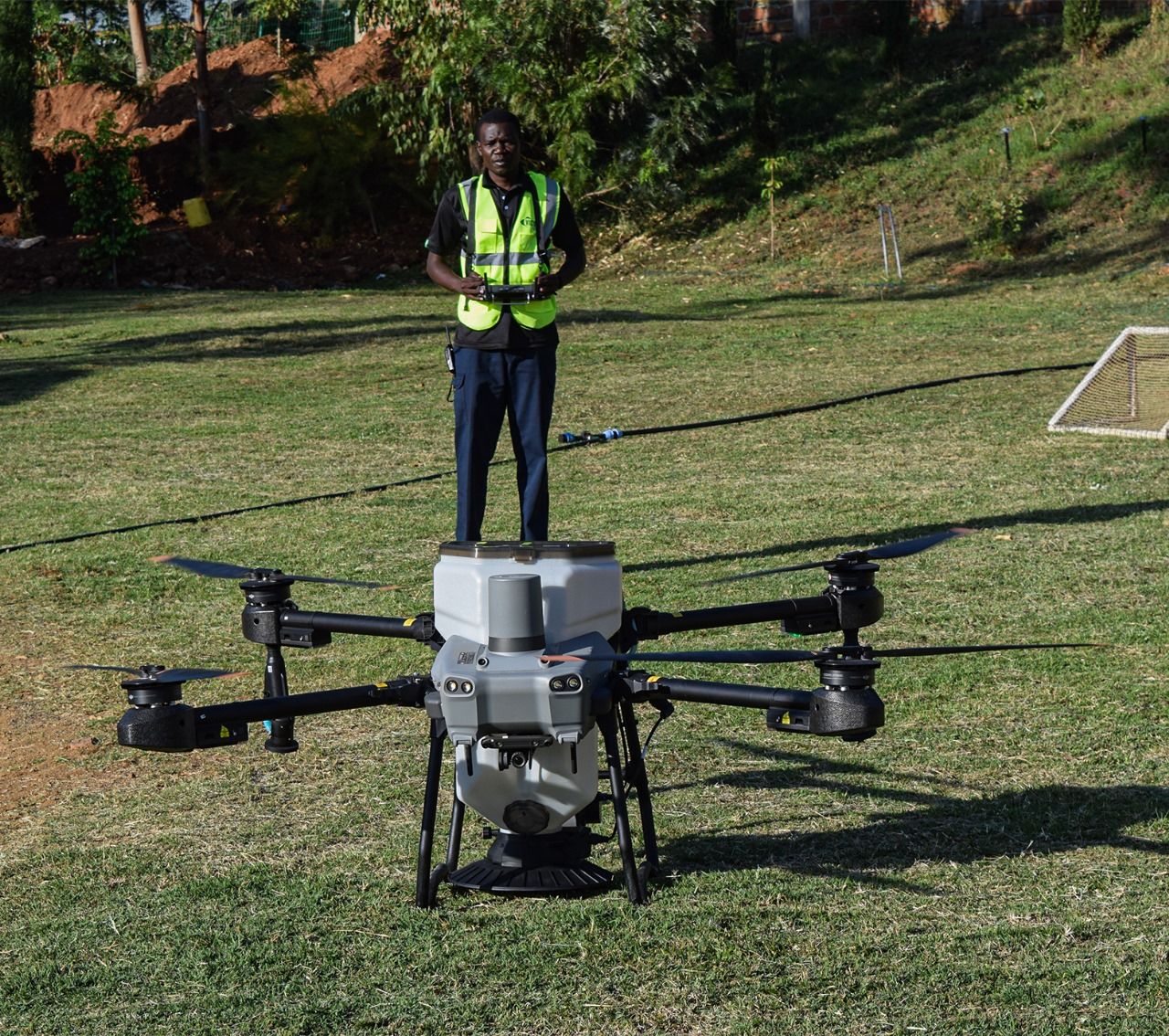
One of the reasons I continue to advocate for QGIS is its accessibility and flexibility.As an open-source platform, it provides powerful tools for spatial analysis while integrating well with drone-derived datasets. Combined with Python, machine learning libraries, and modern AI plugins, QGIS enables organizations to build sophisticated geospatial workflows without the high licensing costs often associated with enterprise systems.
For professionals working in developing markets, this creates opportunities to implement advanced spatial analytics using tools that are both powerful and affordable.
The Difference Between Collecting Data and Creating Value
One observation I have made throughout my career is that two drone pilots can fly the same mission and deliver completely different value. One may provide images and maps. The other may deliver operational intelligence by identifying trends, anomalies, risks, and opportunities hidden within the data. The second professional creates greater impact because they understand how to interpret information and connect it to business objectives.
As drone technology becomes more accessible, this ability to generate insights will increasingly become the key differentiator.
Applications Beyond Traditional Mapping
While drones have traditionally been associated with mapping and surveying, GEO AI is expanding their value across multiple sectors. In agriculture, multispectral imagery can support crop health assessment and precision input management.
In environmental management, AI-assisted change detection can help monitor ecosystems and track environmental impacts. In infrastructure projects, automated feature extraction can improve asset monitoring and progress tracking.
In aquaculture operations such as those at Victory Farms, the combination of drone data, GIS, and AI presents exciting opportunities for environmental monitoring, operational planning, asset management, and data-driven decision making.
Looking Ahead
I believe the future of drone operations belongs to professionals who combine aviation knowledge with expertise in GIS, remote sensing, artificial intelligence, and data analytics. The industry is moving beyond flying. Organizations increasingly want answers, insights, and recommendations rather than raw imagery. Drones are becoming powerful data collection platforms, but GEO AI is becoming the intelligence layer that transforms As professionals, our challenge is to continue developing the skills required to bridge the gap between data collection and decision making.
The question is no longer whether you can fly a drone. The question is whether you can transform drone data into intelligence that helps organizations make better decisions. That data into value.