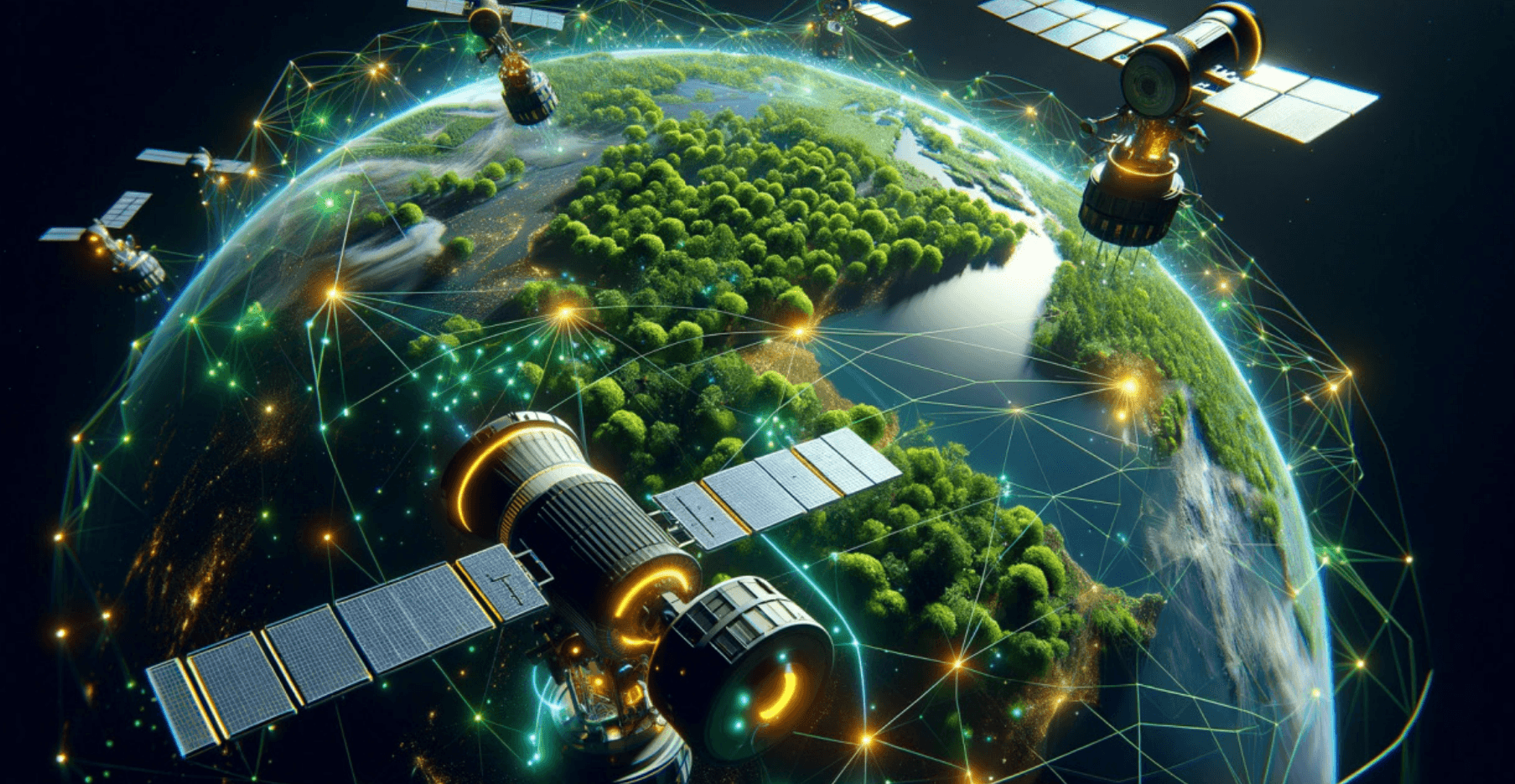
Artificial intelligence (AI) and machine learning (ML) applications in GIS is the novel fountain of geospatial analysis in the present world, technologies previously seen as belonging to isolated spheres now complement each other in addressing many of the challenges facing the world today, making it possible to view geospatial data in new ways, from enhancing the quality of land use classification to disaster forecasting to aiding in the roll out of cities to observing environmental changes, AI/ML-powered GIS has proven the field as a dynamic, predictive, and solution-oriented one. The article below is a detailed elucidation of how these technologies are used in GIS or geography and the impact they yield for future development, collaboration, and effective resolution of issues. The advancements contained in this article defend the incorporation of AI and ML and the development of GIS.
Geographic Information Systems have conventionally been concerned with the acquisition, storage, and analysis of geographic data. The new kinds of media analytics, such as AI and ML solve the dilemma by focusing on analytics and intelligent analysis. The huge volumes of geospatial data are also easier to feed into the ML algorithms—something conventional procedures fail to perform efficiently. Today, GIS has greatly advanced using artificial intelligence, where automation, prediction, and influence are much more than the normal reliance on human input.
Modern GIS tools improve with the introduction of advanced tools such as computer vision as well as NLP. For example, computer vision enables the assessment of satellite images without the need for human intervention. NLP enables the analysis of text-only geospatial information such as text data generated in social media to map events in real-time such as disasters or diseases. These advancements have expanded GIS applications to multiple fields such as agriculture, urban development, disaster management, and environment.
The applications of AI and ML in the classification of land uses.
Currently, one of the most common uses of AI/ML in GIS is the classification of land use. This activity entails the classification of land cover classes including built-up areas, forests, agriculture, and water bodies among others using geographically referenced data. In the past, this task was done either manually by interpretation or through simple algorithms, which are both slow and inaccurate.
As deep learning models, such as Convolutional Neural Networks (CNN) become efficient in high-speed high-accuracy classification. As ML models help in land cover classification, these models work to interpret satellite and aerial photographs, which look for small changes in ground makeup, offering detailed descriptions of land use throughout progressive years on the same ground, for example. All systems can identify the spread of cities or the governing grid of such spaces to enhance the policy and planning strategies undertaken by various countries that adopt farmland or whatever.
This technology has also been applied to track issues as the encroachment of protected areas or unauthorized mining, where accurate satellite imagery has increased the merits of AI/MLpowered GIS to the management and planning of the land.
Disaster Prediction & Management I
Natural disasters by definition include floods, earthquakes, hurricanes, and wildfires, and are considered threats to life and property. AI/ML models refine the statistical forecasting properties of the GIS, enabling the authorities to respond to catastrophes better.
Through access to historical data, GIS data, and real-time sensors, the use of Machine Learning algorithms makes a very accurate prediction of possible disasters. For instance, in flood prediction where models apply rainfall information, river flow characteristics, and topography maps to simulate and model risks. Likewise, AI-based GIS applications in wildfire management work with remote sensing data and machine learning algorithms to estimate the potential by categories of vegetation cover, wind orientation, and temperature respectively.
In disaster response, AI-integrated GIS systems direct pinpointing of areas that need intervention, for example. These systems can not only locate most of the areas impacted by hurricanes but also estimate the number of people who may have been displaced and the best way to evacuate them. Categorizing land cover types—such as urban areas, forests, agricultural fields, and water bodies—based on geospatial imagery. Traditionally, this task required manual interpretation or basic algorithms, which were both time-consuming and prone to errors.
AI/ML models, and profound learning algorithms like Convolutional Neural Networks (CNN), now enable high-speed, high-accuracy land cover classification. These models analyze satellite and aerial imagery to identify subtle patterns in the landscape, providing granular insights into land use changes over time. For instance, AI systems can detect urban sprawl or agricultural expansion, helping policymakers and planners make informed decisions.
This technology has also been applied to monitor illegal activities like encroachments on protected land or unregulated mining. With the growing volume of high-resolution satellite imagery, AI-powered GIS is becoming indispensable in land management and planning.
Disaster Prediction and Management
Natural disasters—such as floods, earthquakes, hurricanes, and wildfires—pose significant threats to human life and infrastructure. AI/ML models enhance the predictive capabilities of GIS, allowing authorities to prepare for and respond to disasters more effectively. By analyzing historical data, geospatial patterns, and real-time sensor inputs, ML models can forecast potential disasters with remarkable accuracy.
For example, flood prediction models use soil data, river flow patterns, and topographical maps to simulate and anticipate areas at risk. Similarly, AI-driven GIS applications in wildfire management use remote sensing data and ML algorithms to predict fire spread based on vegetation density, wind direction, and temperature.
In disaster response, AI-powered GIS systems help identify critical areas requiring immediate attention. For instance, during a hurricane, these systems can map the most affected areas, estimate population displacement, and optimize evacuation routes. Such applications not only save lives but also reduce the extent of material losses because resources are better directed.
Source: https://www.researchgate.net/publication/372551405_Identification_of_significant_metrics_and_indicators_for_smart_mobility_urban_development_
GIS Application has always shown its strengths from urban planning. Nevertheless, the existence of AI and ML has affected the planning and management of cities. When these technologies are incorporated, urban planners are capable of developing growth models to predict future arrangements, adjust infrastructures, solving issues of traffic, housing deficits, as well as ecological problems.
AI/ML integrated GIS application deciphers population density, land usage, mobility aspect, and environmental factors that facilitate the formation of efficient and effective urban landscapes. For example, traffic flow prediction can be done through machine learning models to recognize zones densely occupied by cars and recommend a change in the road layout. These AI-applied text and other managed services based on the public domain such as waste management, and energy distribution resulting in intelligent cities.
The smart cities concept centers on connecting Internet of Things (IoT) gadgets with AI/ML in GIS. Such systems collect current information from multiple sources, set in reality to control traffic flow, air and water conditions, garbage disposal, etc. The information is used to make progressive decisions such as changing traffic signal setups or to dedicate more resources to underserved communities.
Understanding the Features of the Environment: Monitoring and Conservation.
Another area where GIS with the assistance of AI/ML has been advanced extensively is environmental monitoring. It carries out time tracking of environment changes and compliance problems like deforestation, pollution, and climate challenges.
Since GIS is coupled with ML algorithms, ecosystems’ subtle changes are easy to identify. For example, it can predict that vegetation in a certain area has lost its vigor and needs attention from pests or water shortage by using spectral data in a satellite image. Likewise, the ML models are employed for tracking air and water pollution and making signals for high-risk levels that would be dangerous to health.
These established aspects show you how beneficial to conservation measures GIS tools backed with AI/ML capabilities can be. The study of population demographics, migratory pathways, and high-risk habitats in wildlife populations. These are essential for designing specific measures of conservation and for minimizing the adversarial relations between humans and wildlife.
Case Study: Forest watch Global and Artificial Intelligence in Monitoring Deforestation Background
Global Forest Watch (GFW), an initiative of the World Resources Institute Organization (WRI) is an example of using real-time artificial intelligence and satellite images to track deforestation. GFW enables governments, conservation agencies, or companies to get details required to mitigate forests and get essential information about forests, how to control loss, and promote replanting of trees.
Technology Used
- Satellite Imagery: Many satellites include Landsat, Sentinel, and MODIS to get all relevant data needed.
- Machine Learning: These images are analyzed by models to look for variations in vegetation cover.
- Google Earth Engine: Used for the high throughput and graphical analysis of deforestation information.
The Amazon region is a recognized hot spot of biodiversity; however, it has undergone severe deforestation ignited by logging, agriculture, and guano mining. The GFW used AI and ML to identify lost forests and to forecast vulnerable regions.
Deforestation Alerts
GFW's system provides Global Land Analysis and Discovery, or GLAD alerts, pointing toward a forest loss in near real-time. They enable the local authority to promptly take measures against forbidden actions. Example: Specifically, in 2021, via satellite observation, what is called GFW noted increased human activities with deforestation in the Pará region of Brazil. This information was used by the authorities in the fight against illegitimacy in the exercise of their duties such as raising sites involved in illegal logging.
Predictive Models
The MAAP models identify areas most likely to face future deforestation to optimize the focus of monitoring investments used in previous deforestation activities.
Reforestation Initiatives
AI-powered tools are also employed to guide reforestation efforts. In Colombia, GFW collaborated with local NGOs and authorities to pinpoint land that had low capacity to support vegetation cover, using data on soil type, historical regime, and local environment. Reforestation projects that were funded by these instruments aimed at achieving the highest levels of biodiversity regeneration and carbon storage.
Impact
- Increased Accountability: Those organizations that are using materials from deforested places can be given a label to enhance an appropriate practice.
- Empowering Local Communities: Indigenous and local people rely on the generated information of GFW for lobbying their forests.
- Policy Formulation: Both Indonesian and Brazilian governments have cited GFW data in enforcing measures formulated on the protection of forests.
GFW captured more than a million 437 hectares of tree cover lost globally from Jan up to 2021, bringing awareness about deforestation patterns around the world. These measures after analyzing data from GFW have been most regions' deforestations reduced Global Forest.
Watch shows how AI/ML is used to track and prevent deforestation, thus, by linking technology with collaborative action on the ground, it delivers a template for implementing SAM globally.
Problems, and Ethical Concerns.
Nevertheless, there are several challenges associated with the integration of AI/ML in GIS, where it has the potential to revolutionize. Several challenges exist including data privacy, data ownership, aspects like privacy, explanations, geospatial data collection. This factor hinders the greater implementation of AI/ML-developed GIS technologies especially in the developing world.
Since the application of Geographical Information Systems involves the use of artificial intelligence, ethical factors also form part of the application of the technique. Aspects like privacy, explanations about algorithms used, and responsibility must be resolved to make better and fair decisions. In particular, the phrase can be translated into data discrimination instances, such as unequal distribution of resources, and insidious misrepresentation of specific populations.
Much has to be done to overcome such obstacles, including creating ethical standards and open data programs, it is necessary to have appropriate governmental and non-governmental organization cooperation with socially interactive and responsible use of AI/ML GIS.
AI and on ML in GIS: A Future Perspective.
The integration of AI/ML and GIS can truly grow to be a force of global challenge solutions in the future. Indeed, as the systems improve, corresponding technology emerges providing and remaining further capabilities for addressing geospatial issues.
New frontiers of AI/ML in GIS include the development of AI/ML technologies for agriculture, autonomous navigation, and climate change. These technologies also provide capabilities for improving interdisciplinary coupling where technologies from such areas as urban planning, environmental science, and public health may intersect.
Moreover, the evolution of edge computing in combination with cloud-GIS technologies is gradually bringing AI/ML geospatial computing to the masses. All technologies, and innovation will allow various organizations – big and small, to use "intelligent" solutions to address local and global disparities and difficulties.
AI and ML have an impact on GIS, expanding the scope of geospatial analysis as a predictive, as well as analytical tool. Starting from land usage differentiation, passing through disaster programs, and finishing with environment controlling those technologies open the perspectives for effective utilization of the development, as well as in the problem-solving processes. Nevertheless, the implementation of AI/ML in GIS still possesses many barriers, which means that we are closer to a future GIS-centric world where the geospatial science approaches them all with precision, innovation, and effective problem-solving.
As integration deepens, AI and GIS hold even more potential for the future of every field that aspires toward sustainable development.