
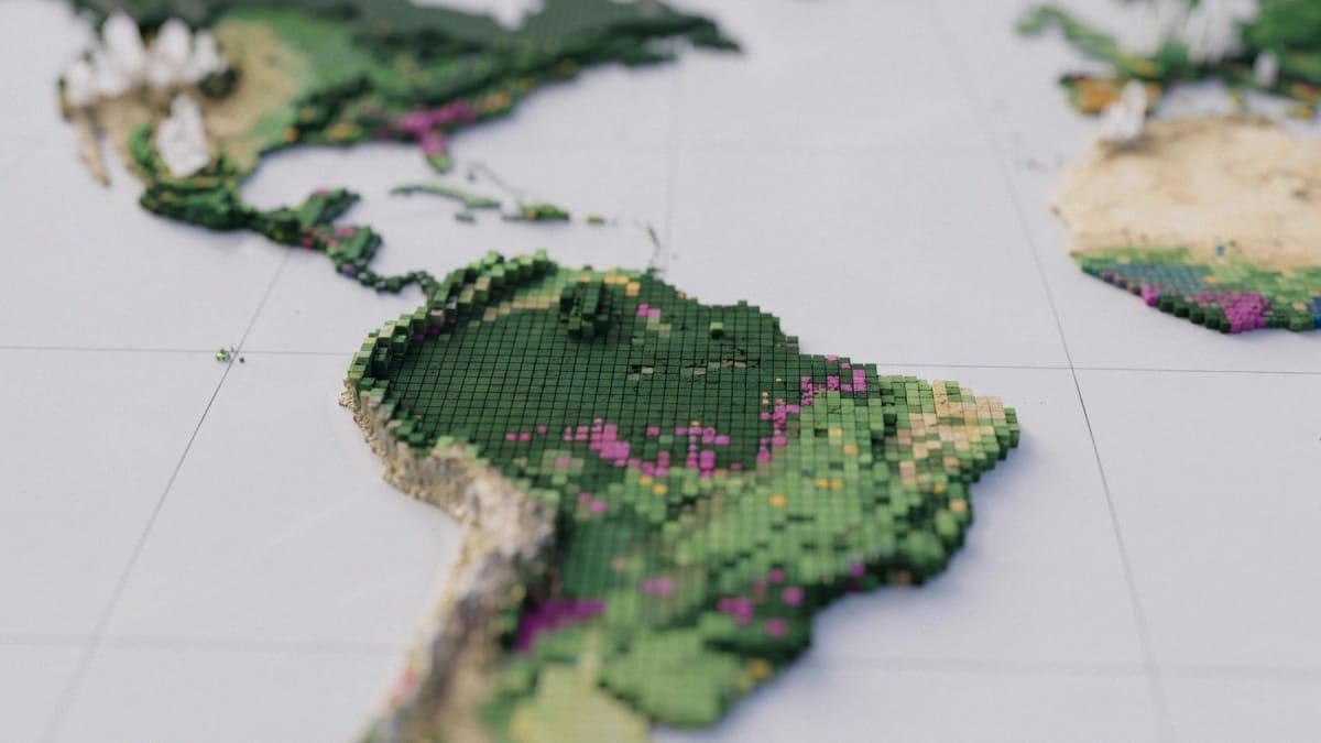
DeepMind and WRI release ForTy, a 10-metre global forest-type map
Google DeepMind and Google Research, with the World Resources Institute and IIASA, released Forest Typology (ForTy) 2020 on 22 October 2026. The global map assigns every 10-by-10-metre patch of land to one of six classes based on FAO definitions: primary forest, naturally regenerating forest, planted forest, plantation forest, tree crops and agroforestry, and other land.
The model uses AlphaEarth Foundations embeddings and was trained on about 1.7 million labelled locations. It was checked against more than 9,000 random sites reviewed by two experts each, giving about 90% accuracy on forest type and 95% on forest versus non-forest. An early annual time series for 2017 to 2025 shows what replaced lost forest. Per-class probability scores let users set their own thresholds. Both datasets are free on Google Earth Engine, and the map is intended as a baseline for the EU deforestation regulation.
Why it matters: A free, global, class-level forest layer with confidence scores lets practitioners separate natural forest from plantations and tree crops without building their own classifier. This is useful for supply-chain due diligence and land monitoring, including in tropical commodity regions.