Drones have significantly revolutionized various industries and operations over the years. If you didn’t know, a drone is an acronym for Dynamic Remotely Operated Navigation Equipment. While drones may seem like a new invention, the concept has existed for centuries. Initially, the equipment was confidential and intended only for the military’s security purposes.
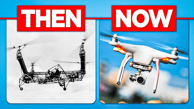
Dating back to World War I, militia used unmanned aeroplanes to spy on enemies during wars. It was around 2006 when non-military use of drones began. While the military still uses high-endurance drones to survey borders and deliver equipment in war zones, its application has spanned numerous domains and enhanced efficiency, saving resources and time. They are used for educational purposes, rescue missions, deliveries, filming, and photography. The utilization of drones has evolved since the Industrial Revolution and continues to advance as technology spearheads innovation.
The geospatial domain has immensely advanced from the use of drones. The journey began with hot air balloons for aerial photographs in the 1800s, which we can say was the inception of remote sensing. Researchers needed a bird’s view to understand their landscape better. However, the image quality was poor at that time. This challenge prompted innovation and creativity as scientists sought to produce better images, paving the way for the inception of the high-quality aerial photography and videography we now have.
Today, drones have top-notch components to capture exceptional images for analysis. They have High-definition (HD) cameras, stabilization and navigation systems, and flight controller boards. The flight controller board processes sensor data and controls the device’s commands. Other advanced features include the incorporation of Artificial Intelligence (AI) software, Machine Learning (ML), and Light Detection and Ranging (LiDAR). Drones are characterized by precision, object recognition and avoidance.
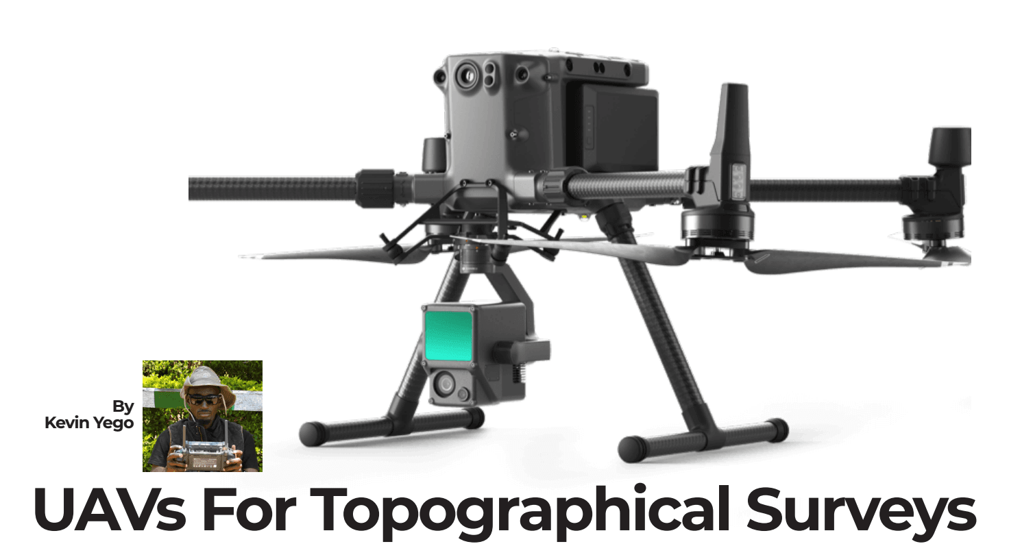
Drones have become a staple in the geospatial industry. They are used in various sectors, including surveying, urban planning, and climate and environmental monitoring. The instruments are efficient for high-accuracy mapping and surveying within a short time. They have enhanced geospatial data collection, gathering a wide range of data. Surveyors can use the equipment with LiDAR for topo surveys to capture elevation, produce maps and generate DEMs. They are especially advantageous for inaccessible or rough terrains that would be difficult to do with traditional methods. We have drones for bathymetric surveys that establish the water volumes and levels of dams and oceans, in conjunction with a radar system and echo sounders.
Drones are widely utilized in urban planning for land use management, detecting changes, and detecting illegal construction works for sustainable planning, environment conservation, and the development of smart cities. The data captured enables streamlined transportation systems by monitoring areas of congestion, infrastructure inspection of roads and bridges, and 3D visualizations of urban areas.
(Drones are integrated with hyperspectral cameras to produce multispectral images for climate and environmental analysis, such as evaluating vegetation and water quality. We can use drone data to monitor forests, assess damage from fires and deforestation, and calculate areas and volumes.)
The equipment can also be utilized for wildlife management by capturing photographs of wildlife and monitoring their migration and habitat areas. Drones are also integrated with other geospatial technologies like a Geographic Information System (GIS) to analyze and manage the data in geodatabases and Global Positioning Satellite (GPS) for real-time locations.
Despite the benefits, there are various challenges associated with drones. As drone technology advances, guidelines have been established to restrict its use for security and privacy reasons. On the bright side, various institutions offer drone technology courses to help users learn how to operate drones and implement them for appropriate purposes.
Some of the drawbacks include:
The cost: A1 drones with high-quality cameras, sensors, and additional components like LiDAR are expensive. It is a heavy investment that only a few can afford.
Susceptibility to damage: Drones are affected by weather and obstructions like trees, making them prone to damage. It is crucial to properly operate and maintain the equipment to avoid extra repair costs.
Complex data processing: Drone data tends to be very large and heavy, requiring significant computational power. The hardware and software must be compatible and capable of processing and managing the data.
Security risks: Drone data requires robust cyber security because it is vulnerable to cyberattacks and hacking. There has to be an efficient data management system with encryption and regular security checks to maintain the data’s integrity.
Inadequate regulation: Regulation for the commercial use of drones is insufficient, and there is a lack of harmonization when using drones across borders. In Kenya, the use of drones is regulated and licensed by the Kenya Civil Aviation Authority (KCAA), which supports the advancement of drone technology and devises policies to ensure safety for all.
Few drone operating experts: There is a limited number of specialized drone operators in the drone industry. Standardized training with interfaces that are easy to understand would go a long way in encouraging enthusiasts to take drone courses.
Drones have revolutionized our world today. There are many other applications, including precision agriculture, disaster management using real-time images to facilitate fast and effective response, and delivery of medical supplies to inaccessible areas, which we witnessed during the COVID-19 crisis. Drones are fundamental in our everyday operations and essential for enhanced efficiency.