
10th AfriGEO Symposium in Abuja marks a decade of African Earth observation
More than 400 delegates met in Abuja for AfriGEO's tenth symposium, covering EO capacity, imagery access, early warning and investment.
Source: Tech Review Africa
Topic
Climate change and resilience, conservation, forests, water and weather.
More than 400 delegates met in Abuja for AfriGEO's tenth symposium, covering EO capacity, imagery access, early warning and investment.
Source: Tech Review Africa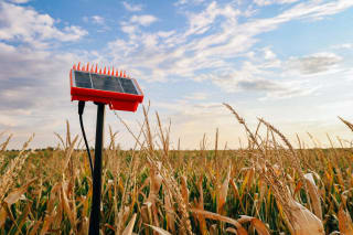
A USDA-funded project across 45 farms in three US states is checking OpenET satellite water-use estimates against field sensors, and finds they are not yet daily-ready.
Source: High Plains JournalA Polish study shows an infrared-only method can fix storm-cloud parallax across 40 years of Meteosat imagery, with 84% of pixels matching the operational correction.
Source: Atmospheric Measurement Techniques (Copernicus Publications)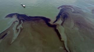
A SkyTruth analysis of Sentinel-1 radar and machine learning links most chronic ocean oil slicks to ships, with hotspots off West and Central Africa.
Source: SkyTruth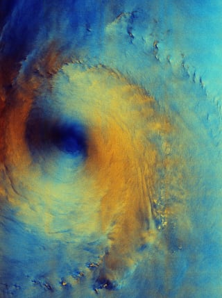
ESA's Copernicus Sentinel-1 radar image reveals rough seas and a calm eye beneath Typhoon Surigae, captured on 28 September 2026 south of Japan.
Source: European Space Agency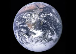
A new JGR Solid Earth study uses GNSS vertical velocities from 1997–2015 to show polar uplift accelerating and the planet's flattening shrinking.
Source: Journal of Geophysical Research: Solid Earth (AGU/Wiley)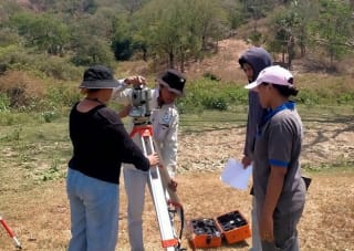
UNTL staff and students learned total station surveying and least-squares processing, then mapped a mountain catchment and retention ponds near Dili.
Source: UNSW Engineering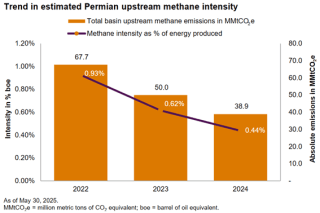
A critical analysis of a UCLA study on methane emissions highlights significant challenges in operator attribution and the limited context of satellite observations. The article emphasizes the need for accurate, complete data and collaboration to avoid misleading conclusions in environmental…
Source: Energyindepth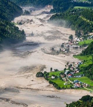
Following a devastating "mountain tsunami" and increasing extreme climate events in the Hindu Kush Himalaya, this article explores the urgent need for China, Nepal, and India to translate Earth observation data into actionable regional preparedness for transboundary disaster management.
Source: Thediplomat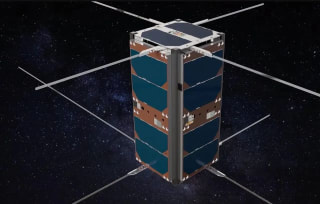
Nanosatellite constellations are transforming Earth observation by providing much more frequent coverage than traditional satellites. These tiny, cost-efficient devices enable real-time tracking of rapid phenomena like methane leaks, wildfires, and cloud formation, enhancing our understanding of…
Source: Futura Sciences