
US SatRAP project tests OpenET satellite data for High Plains irrigation
SatRAP, a five-year USDA-funded project that began in 2025, is testing whether satellite-derived water-use estimates can help irrigators on the High Plains. Led from Kansas State University with partners including the University of Kansas, Oklahoma State, Texas Tech, Texas A&M, West Texas A&M, OpenET and NASA-affiliated researchers, it works with 45 farms: 15 each in Kansas, Oklahoma and Texas.
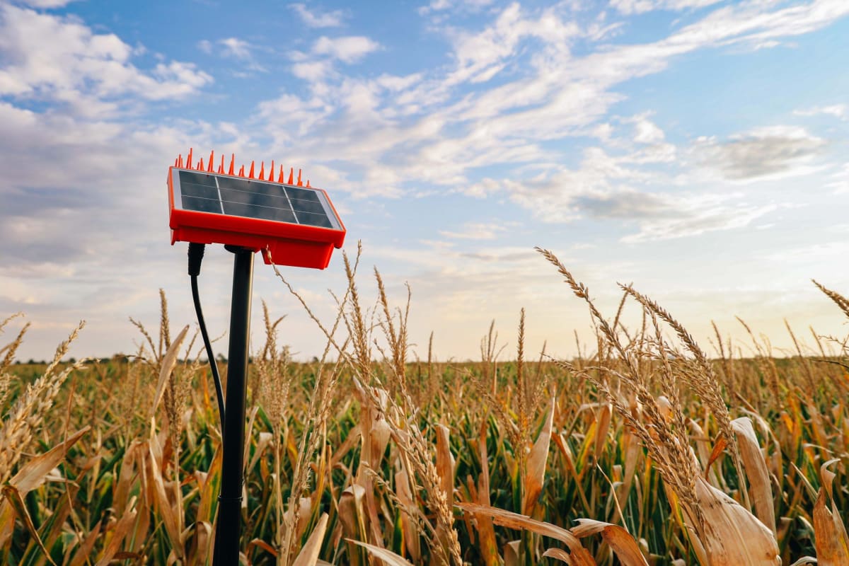
Fields carry soil moisture sensors, water meters, local weather stations, autonomous irrigation equipment and eddy covariance towers. These measurements are used to validate OpenET evapotranspiration estimates.
Researchers say the data is not yet suitable for daily irrigation decisions. It currently arrives with a three- to four-day delay, and cloud cover and the indirect, temperature-based estimation method add uncertainty. The team hopes to offer forecast-style information in future. OpenET is free to the public. It is too early to say whether participating producers are using less water.
Why it matters: The project shows how ground sensors are used to test satellite evapotranspiration products before they inform farm decisions. The same validation challenges, such as latency, cloud cover and indirect estimation, apply to satellite irrigation tools being developed elsewhere, including in Africa.