
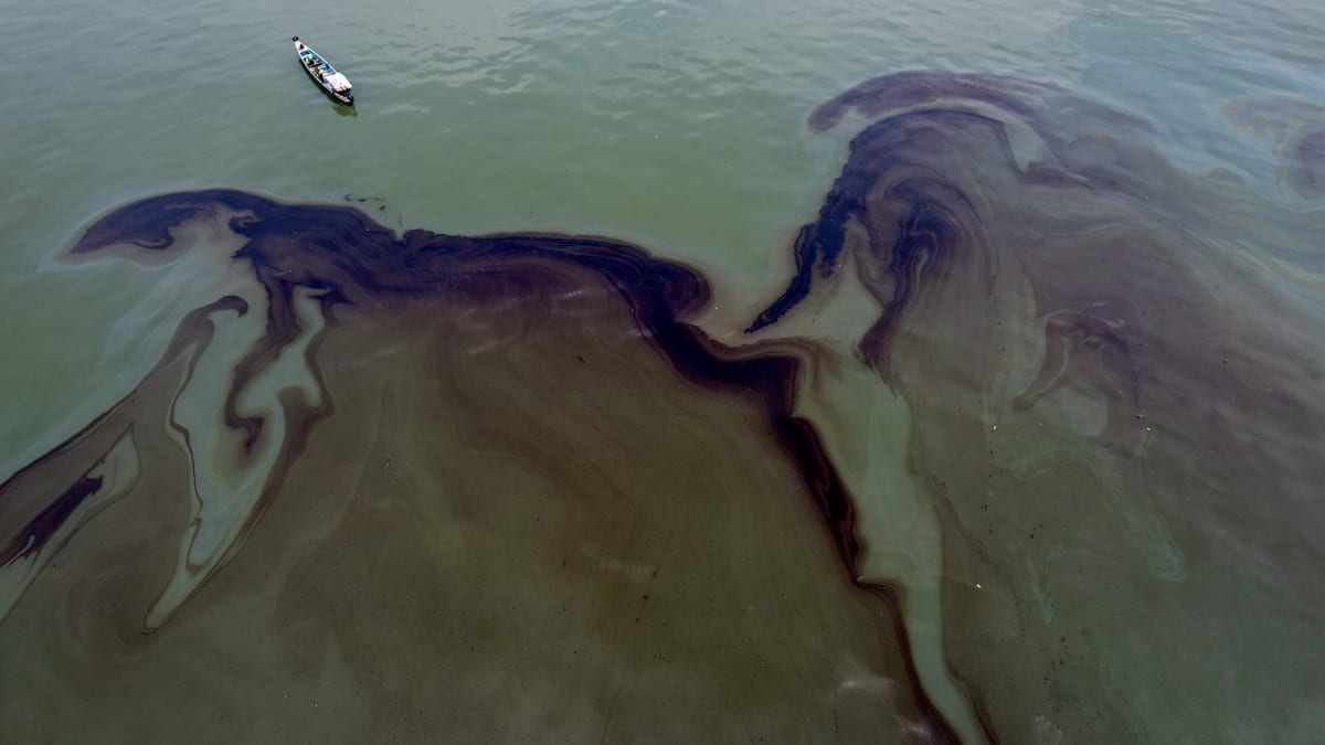
SkyTruth estimates oil slicks cover 1.58 million km² of ocean yearly
SkyTruth, a US conservation-technology nonprofit, published a global analysis on 23 September 2026 estimating that oil slicks cover about 1.58 million km² of ocean each year. It combined Sentinel-1 radar imagery from 2023 to 2025 with its Cerulean machine-learning detection platform and vessel-tracking data, then modelled areas with sparse satellite coverage.
Vessels, mainly cargo ships and tankers, account for about 81% of slick area that can be attributed to a source. Offshore oil infrastructure accounts for about 18%. Analysts verified 3,152 slicks, and identified 16 vessels apparently discharging oil in over 10% of their at-sea observations. Indonesia had the most verified slicks (823). The modelled density was highest in the exclusive economic zones of the Democratic Republic of the Congo and the Republic of the Congo. Ownership data was found for only nine of 20 repeat-polluter vessels. Limited open-ocean radar coverage remains a gap.
Why it matters: Open Sentinel-1 data and machine learning make routine marine pollution measurable and attributable to vessels and platforms. For West and Central African coastal states, the findings on Congo-basin and Nigerian offshore facilities give a basis for monitoring and enforcement.