Earth Observation (E.O.) is a vital remote sensing technology whose potential has yet to be fully harnessed in Africa. For decades now, we have appreciated the convenience of capturing moments with a single camera snapshot and preserving images to reminisce on in the future.
Similarly, Earth Observation (E.O.) involves 'taking photos' of the earth to gather and store information about the earth's surface, water, and atmosphere. E.O. might be the key to addressing many of Africa's challenges, including managing natural resources like forests, oceans and mineral sites. E.O. provides reliable and relevant data for informed decision-making that will impact our present and future generations.
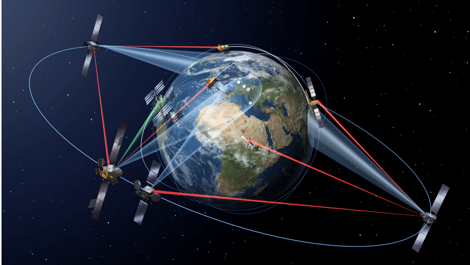
Satellites in space are the primary tools for E.O. They are equipped with sensors (cameras) that capture all that is on land. Satellite images are rich in data which is translated into information through appropriate analysis. The data can be complex and requires ample and robust storage and computational capabilities, which have been eased by Cloud technology.
Satellite data is encrypted with metadata such as the satellite source, date captured, and cloud cover. Most images are preprocessed and corrected for atmospheric conditions like haze for efficient processing. One component of the imagery that makes analysis possible is their band characteristic. Spectral bands are the various wavelength ranges that the sensor captures from the land, water and atmosphere.
There are black-and-white (panchromatic) images or multi-coloured (multi or hyper-spectral), depending on the intended purpose. The data is also captured in intervals, making it ideal for creating time series for comparisons. This property makes E.O. suitable to accurately track changes in our forests, water bodies, and land use.
Looking at forest conservation and management, we can highlight forested areas by combining specific band combinations. This is made possible by surface reflectance, whereby the light bouncing off a forested area differs from that of water. The image pixel values vary due to the electromagnetic radiation captured from different surfaces and their unique spectral signatures. It is crucial to know where all the forests are. Keeping an eye on the extent of forest cover over time will establish if forests are declining and the plausible causes like human settlement.
Furthermore, the analysis can distinguish between healthy and distressed vegetation.
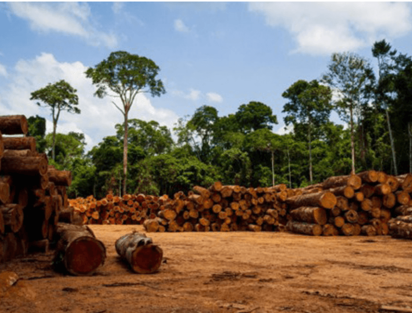
(F.g 1.1 Tree Vegetation)
This technology also applies in agriculture to nurture crops towards achieving food security.
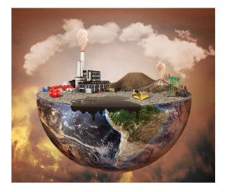
Mineral sites can be managed and regulated using E.O by utilizing time-series satellite images to observe mining activities and how they affect the environment. Unregulated mining causes severe damage to the land and environment from the blasting, explosions, and chemical emissions. E.O can detect illegal mines, which can be investigated for unsafe working conditions and potential human exploitation. Indiscriminate mining leads to habitat loss for other species and loss of agricultural land, forests, and water bodies. Water pollution by mining waste and heavy metals as well as air pollution attributed to chemical gases have dire consequences to the surrounding community such as respiratory infections. Nevertheless, E.O. is an indispensable resource for mineral explorations and the discovery of potential mining sites.
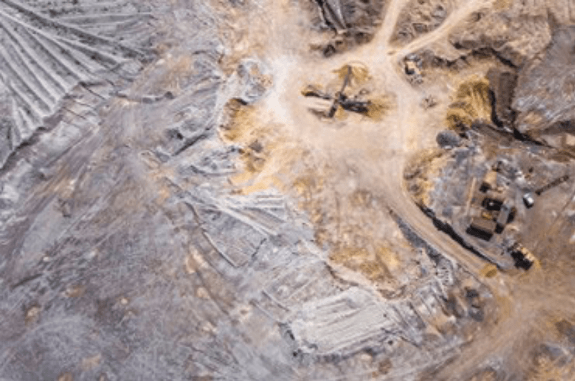
(F.g 1.2 Mineral Sites)
E.O is the most efficient way to monitor oceans, rivers and other water bodies. With the sprawling of urban areas, people are moving closer to river banks and encroaching on natural habitats. We can compare present and past satellite images to establish how much our water bodies have reduced in size. The water quality can also be analysed to determine its safety and establish contributing factors since we can see everything on the image. We can utilize E.O. for water security by detecting potential water reserves, incorporating it with geology and hydrological surveys.
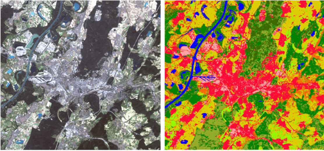
(F.g 1.3 Satellite images monitoring urban sprawl)
Various computer algorithms are used for image classification, change detection and other analysis to get quantitative data such as supervised classification. E.O is integrated with data science for analysis and visualization, as well as Big Data and Machine Learning to process and analyse large datasets.
Africa is rich in biodiversity and has an abundance of natural resources. We must protect and manage these resources through dealing with urban sprawls, deforestation, water contamination. This will curve a path towards sustainable development as Africa blossoms into a developed continent. It is the right time to preserve our environment before urbanization and unregulated industrialization takes over natural spaces. E.O also contributes to achieving the Sustainable Development Goals (SDGs)
such as Zero hunger, Clean water and sanitation, Life below water and Life on land. To reach the true potential of E.O, there has to be funding and support from the government as well as collaborations with NGOs and private consultants.
Earth observation (E.O.) is the future for efficient resource management. Its capability to capture tracts of land at a go, with properties that enable geospatial analysis is an invaluable asset. Currently, we have infrastructures such as Digital Earth Africa (DEA) that provide Africa's satellite data and computing capacity to analyse and get information from the datasets.
The Open Data Cube (ODC) technology employed by DEA is revolutionary, providing geospatial data with cloud computing and an open-source concept that makes the data readily available. This means that one can apply their algorithms to generate relevant information, trends, and findings from that data.
However, we also need to build our human capacity of geospatial analysts who can analyse and extract valuable insights. We need to strengthen our satellite imagery repository to have sufficient, up to date, and high-quality data that provides insights for effective land and water management.
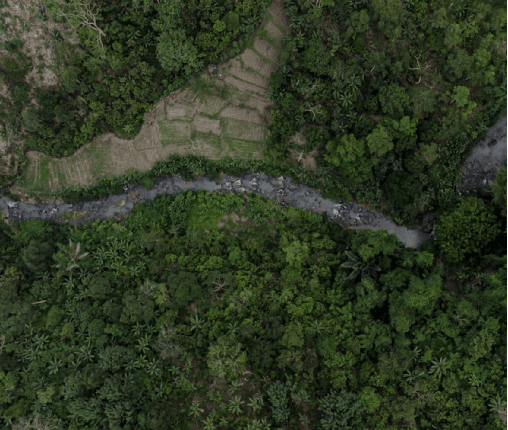
(F.g 1.4 Satellite photo showing forest cover)