Topic

GeoAI & Data

Artificial intelligence, machine learning, big data and cloud platforms applied to geospatial problems.

News

Page 9 of 12
Jul 30, 2026

China's Satellite Fleet Grows Sixfold, Narrows U.S. Lead

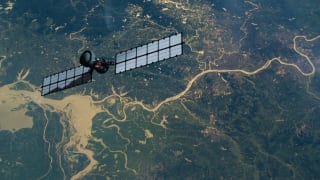
China has significantly expanded its satellite fleet, increasing imaging, navigation, and signals intelligence payloads nearly sixfold over the past decade, rapidly narrowing the United States' technological advantage in space. This expansion enhances China's ability to monitor U.S. military…

Source: Upi
Jul 30, 2026

Turning Satellite Data into Smarter Decisions for Agriculture

Agrograph, led by CEO Taralinda Willis, leverages satellite imagery and AI to provide detailed, field-level agricultural risk insights. This technology helps insurers and businesses make smarter, data-backed decisions by analyzing factors like weather, soil, and crop performance.

Source: Wedc
Jul 30, 2026

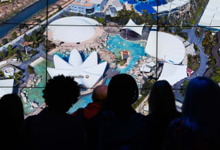
Google Earth Launches AI Image Generator Grounded in Satellite Data

Google Earth introduces Nano Banana 2, an AI image generator that creates spatially accurate visualizations directly on the web. This feature leverages satellite and 3D terrain data to render historical scenes, urban plans, or speculative environments, setting it apart from general-purpose AI tools.

Source: Tech Times