
GIS & Mapping
Korea Unveils 5-Year Spatial Data Plan to Build 3D "New Daedongyeojido" with GeoAI
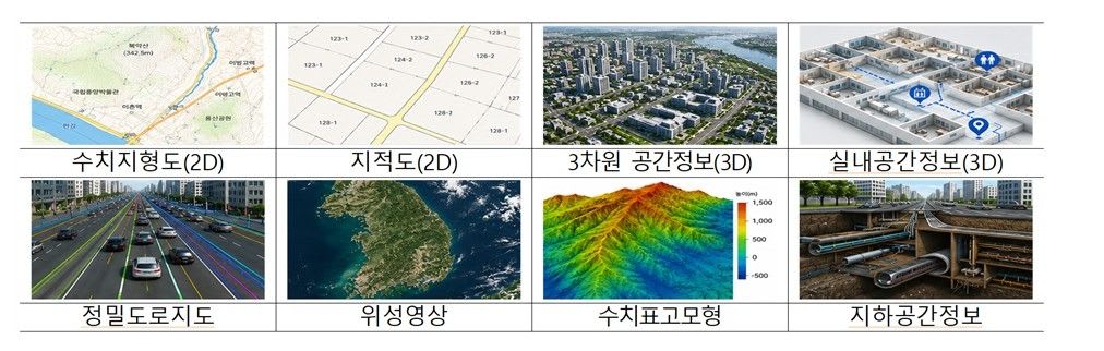
South Korea's Ministry of Land, Infrastructure and Transport (MOLIT) has launched a five-year plan to advance its spatial information industry. The initiative focuses on building high-precision 3D spatial data, dubbed "New Daedongyeojido," and integrating GeoAI to support emerging industries like…