
Remote Sensing & EO
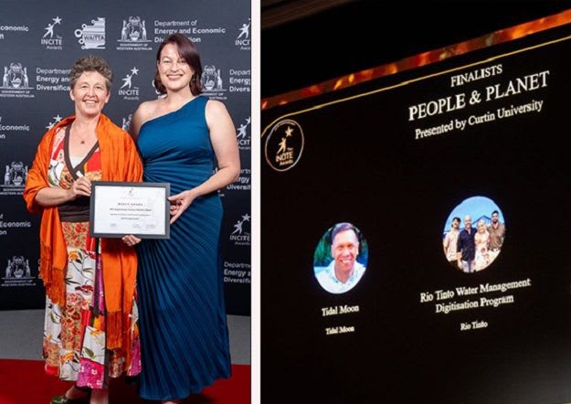
WA Satellite Imagery & AI Project Wins Award for Vegetation Mapping
The WA Vegetation Extent (WAVE) Pilot, utilizing satellite imagery, AI, and cloud computing for native vegetation mapping and monitoring across Western Australia, has received a Merit Award. This innovative project aims to provide frequent and consistent data for environmental management and…