
GIS & Mapping
Satellite Imagery for Business: How GIS Turns Earth Observation Data into Insights
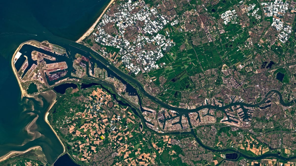
Discover how satellite imagery and Earth observation data, integrated with GIS platforms like ArcGIS and enhanced by AI, provide critical business insights. Learn to monitor assets, assess risk, and identify opportunities across various industries for improved decision-making and ROI.