Geographic Information Systems (GIS) have become indispensable tools for addressing complex socio-economic and environmental challenges in Africa. In Ethiopia, where pastoralism supports millions of livelihoods, a pioneering initiative is leveraging GIS to map national livestock routes for the first time. This project, led by the Supporting Pastoralism and Agriculture in Recurrent and Protracted Crises (SPARC) program in collaboration with the Intergovernmental Authority on Development (IGAD) Centre for Pastoral Areas and Livestock Development (ICPALD) and the Ethiopian government, exemplifies how spatial data can enhance resource management and policy planning for pastoral communities. This article explores the GIS methodologies, applications, and implications of this initiative, highlighting its significance for sustainable development in Ethiopia's livestock sector.
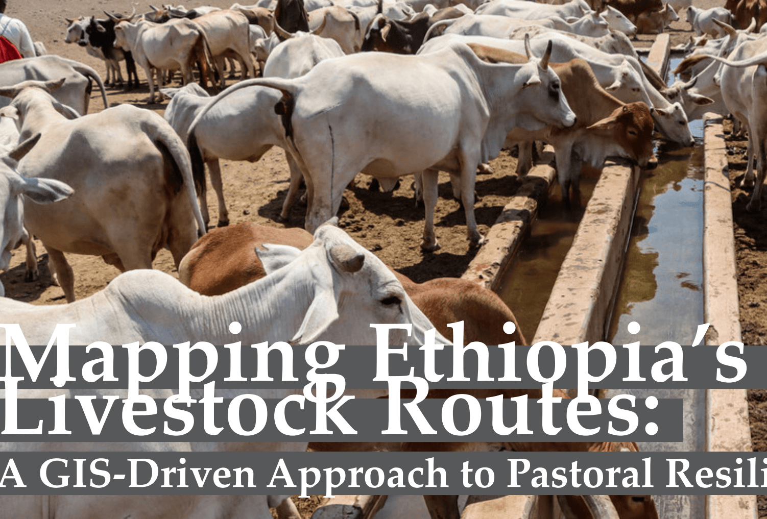
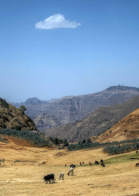
Ethiopia hosts Africa's largest livestock population, with over 70 million cattle, 95 million sheep and goats, and 8 million camels, contributing approximately 19% to the national GDP and 45% to agricultural GDP. Pastoralists, who manage 44% of this livestock across the country's lowland regions, rely on seasonal mobility along traditional routes to access water, grazing lands, and markets. However, these routes face increasing pressures from land degradation, climate variability, and competing land uses, necessitating precise spatial data to inform policy and service delivery.
The initiative to map livestock routes addresses these challenges by creating digital datasets that document the spatial extent, condition, and usage of primary and secondary routes. By integrating GIS technologies, the project aims to enhance pastoral resilience, improve service provision (e.g., veterinary care and water points), and support land-use planning in Ethiopia's hazard-prone regions.
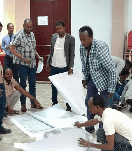
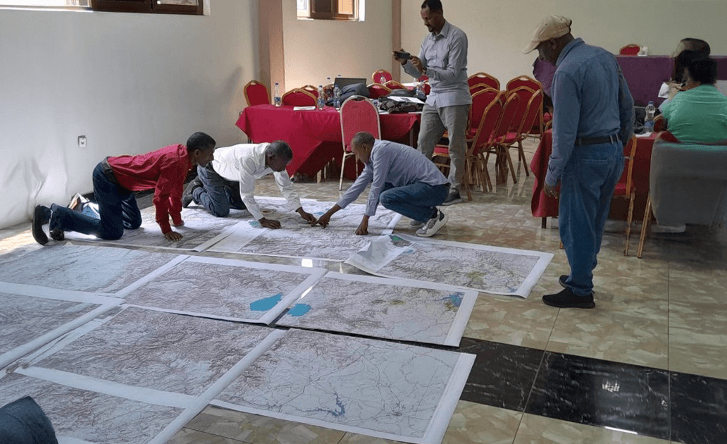
The mapping process began with a participatory workshop held in Adama, Ethiopia, from 26-28 February 2025, convened by SPARC, ICPALD, and government experts from Ethiopia's livestock-producing regions. The methodology combined qualitative stakeholder input with geospatial data collection, ensuring accuracy and community relevance. Key GIS techniques included:
- Participatory Mapping: Local pastoralists and regional officials provided firsthand knowledge of route locations, seasonal variations, and associated resources (e.g., water points, markets). This qualitative data was georeferenced to form the basis of digital maps.
- Spatial Data Integration: Existing datasets, such as satellite imagery and topographic maps, were layered with field data to delineate route corridors. GIS software facilitated the alignment of routes with environmental features like rangelands and water bodies.
- Route Classification: Routes were categorized as primary (high-traffic, cross-regional) or secondary (local, feeder routes) based on usage patterns. Attribute tables captured metadata, including route status, accessibility, and proximity to services.
- Validation and Iteration: Preliminary maps were reviewed by stakeholders to ensure accuracy, with iterative updates planned to reflect dynamic changes in route usage due to climate or socio-economic factors.
These methodologies underscore the power of GIS to synthesize diverse data sources, enabling scalable and adaptable solutions for complex spatial challenges.
The resulting digital maps have transformative potential for Ethiopia's pastoral systems. Key applications include:
- Service Delivery Optimization: By mapping routes alongside service points (e.g., veterinary clinics, water infrastructure), policymakers can identify underserved areas and prioritize investments. For instance, GIS analysis can reveal gaps in veterinary coverage along high-traffic routes, informing mobile clinic deployment.
- Land-Use Planning: Spatial data on livestock routes supports integrated land management, reducing conflicts between pastoralists and other land users (e.g., farmers, urban developers). Overlaying route maps with land degradation or drought risk layers can guide sustainable rangeland management.
- Climate Adaptation: With Ethiopia facing recurrent droughts—resulting in over 6.8 million livestock deaths since 2020—GIS enables scenario planning to identify alternative routes during extreme weather events, enhancing pastoral mobility and resilience.
- Economic Development: By improving access to markets along mapped routes, the initiative supports livestock trade, a critical income source for pastoralists. Spatial analysis can also inform infrastructure development, such as market hubs or transport corridors.
These applications demonstrate how GIS-driven insights translate into actionable strategies for economic, environmental sustainability.
Despite its promise, the initiative faces challenges inherent to GIS projects in resource-constrained settings. Limited access to high-resolution satellite imagery in remote areas may affect map precision, while the dynamic nature of pastoral routes requires continuous data updates to maintain relevance. Additionally, capacity building is needed to equip local institutions with GIS skills for long-term project sustainability.
Future phases of the initiative aim to address these issues by expanding mapping to Kenya, integrating real-time data (e.g., from GPS-enabled livestock tracking), and developing open-access GIS platforms for stakeholder use. Collaboration with academic institutions and GIS professionals could further enhance data quality and analytical capabilities.
The national livestock route mapping initiative in Ethiopia showcases the transformative role of GIS in addressing Africa's development challenges. By creating spatially explicit datasets, the project empowers policymakers, pastoralists, and development practitioners to enhance service delivery, land management, and climate resilience. For Ethiopia's 18 million pastoralists, these digital maps represent more than lines on a screen—they are pathways to sustainable livelihoods and economic stability. As Afrospatial Magazine continues to champion geospatial innovation, this initiative serves as a compelling case study for GIS applications in African contexts, inspiring students, researchers, and professionals to explore the intersection of technology and sustainable development.