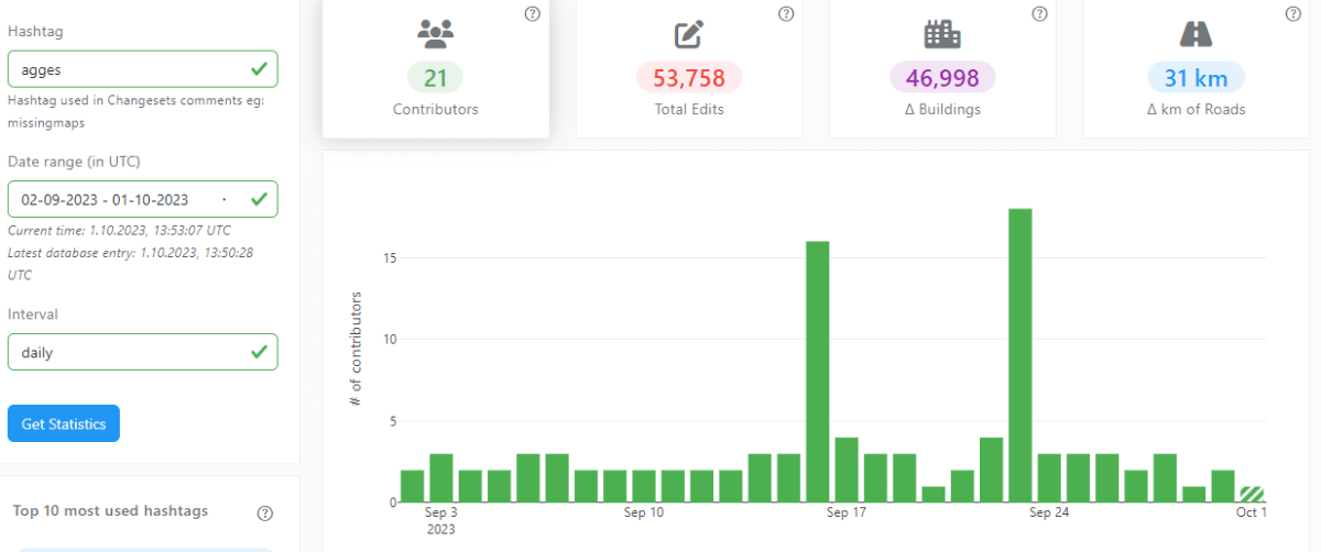
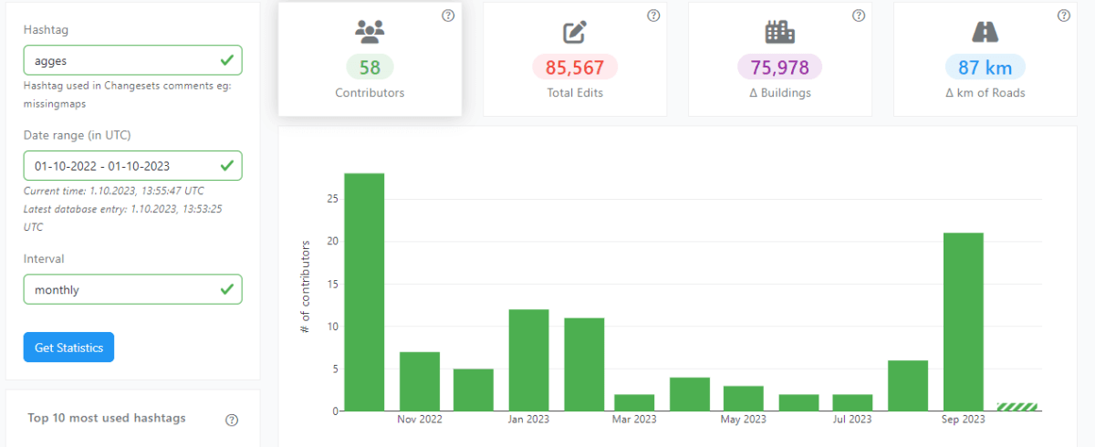
YouthMappers is a global university student community contributing to humanitarian open mapping projects. They work to map areas where maps are outdated or nonexistent to support humanitarian, disaster response, and sustainable development efforts. YouthMappers contribute to open data by mapping regions of OpenStreetMap, which is an open-source and collaborative mapping project. They trace roads, buildings, waterways, and other features from satellite imagery or local GPS data to create up-to-date open map data.
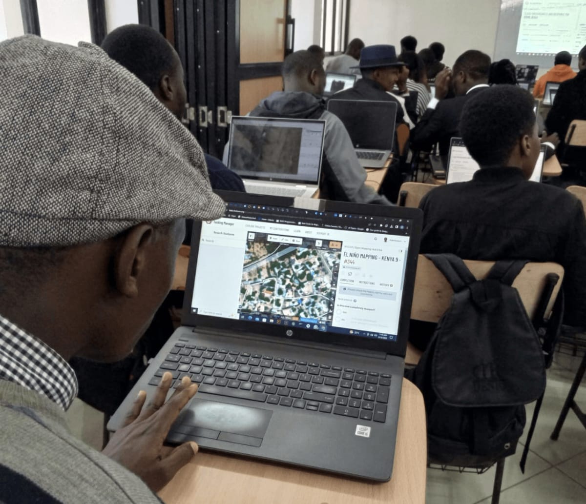
YouthMappers has around 5,000 chapters located at different universities worldwide. We have 14 chapters in Kenya, and the JKUAT Association of Geospatial and Geomatic Engineering Students (AGGES) is one of them.
In our chapter, we strive to contribute to the significant disasters happening worldwide by mapping buildings, roads, and waterways, which help humanitarian organizations make informed decisions.
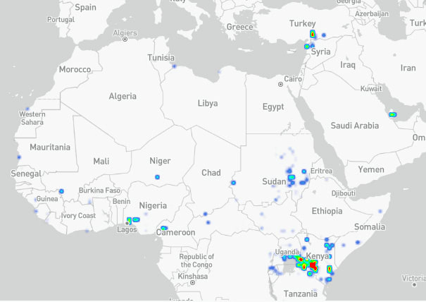
Furthermore, we also map the unmapped areas of Kenya. We have recently completed a section of Juja, which is awaiting validation to ensure the mapped buildings and roads conform to the desired accuracy.
When it comes to contributing to the disaster preparedness dataset, our chapter also participates in those projects; such as the ongoing Mapping for El Niño 2023 Early Warning and Anticipatory Action campaign. Our chapter has added over 30,000 buildings to the OpenStreetMap.
The Chapter President
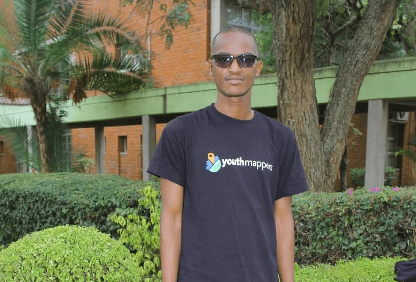
Joseph Munyenze is a final year student taking BSc. in Geomatics Engineering and Geospatial Information Systems and is serving as the chapter president for the 2022/2023 term. He has acquired numerous OpenStreetMap editing skills, which he has been able to pass on to the chapter members. Last year, he participated in the OSM Uganda training internship and UN Mappers Training Workshop. Additionally, he recently completed an OSM Kenya Data Quality internship program. He is an active volunteer at the Humanitarian OpenStreetMap Team.