From Dreams to Reality
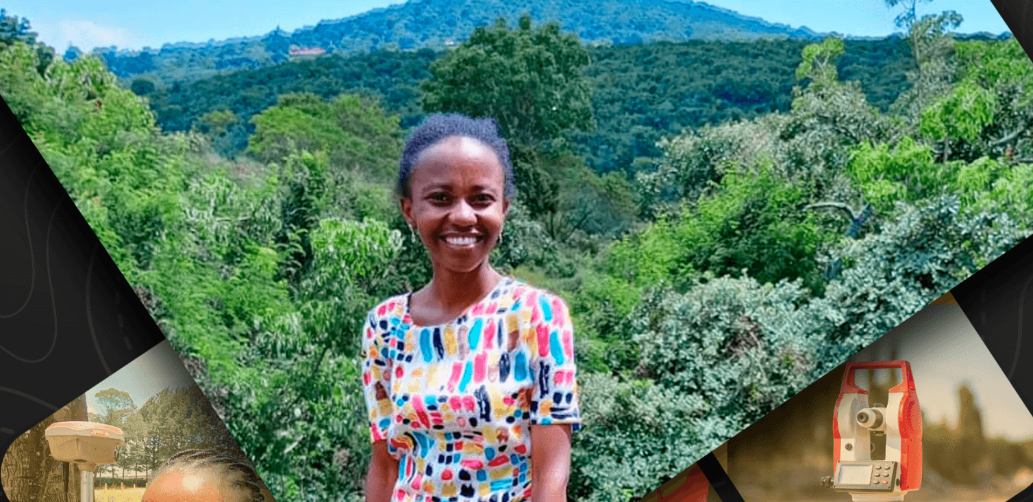
From dusty site boots to rolled-up subdivision plans, my journey into land surveying has been nothing short of remarkable. Growing up in Ongata Rongai, Kajiado County, I never imagined that one day I’d be out in the field, helping communities understand their land boundaries, rights, and future. What started as a simple curiosity about maps and land has grown into a deep, purposeful career.
Today, I serve as the Director at Geogenius Surveying and Conveyancing. But this story isn't just about titles or job roles, it's about a dream that unfolded one decision at a time, a young woman finding her place in a male-dominated field, and a calling rooted in both skill and service. This is my story one of faith, resilience, and a passion for making land ownership clearer and fairer for the wananchi.
The Beginning
Right after high school, my father asked me what course I wanted to pursue. To be honest, I wasn't entirely sure at the time. But one thing I knew for certain, I didn't want a career that required me to wear heels or heavy makeup every day (no hard feelings to those who do, haha). That's when he mentioned land surveying to me, and the moment he did, something clicked, I was instantly intrigued!
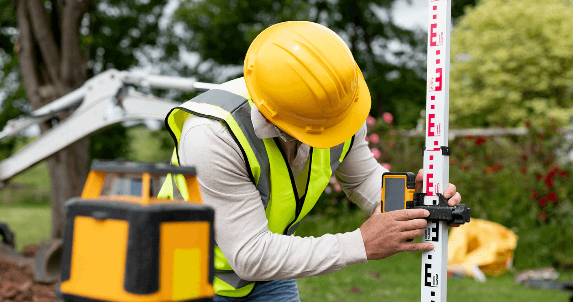
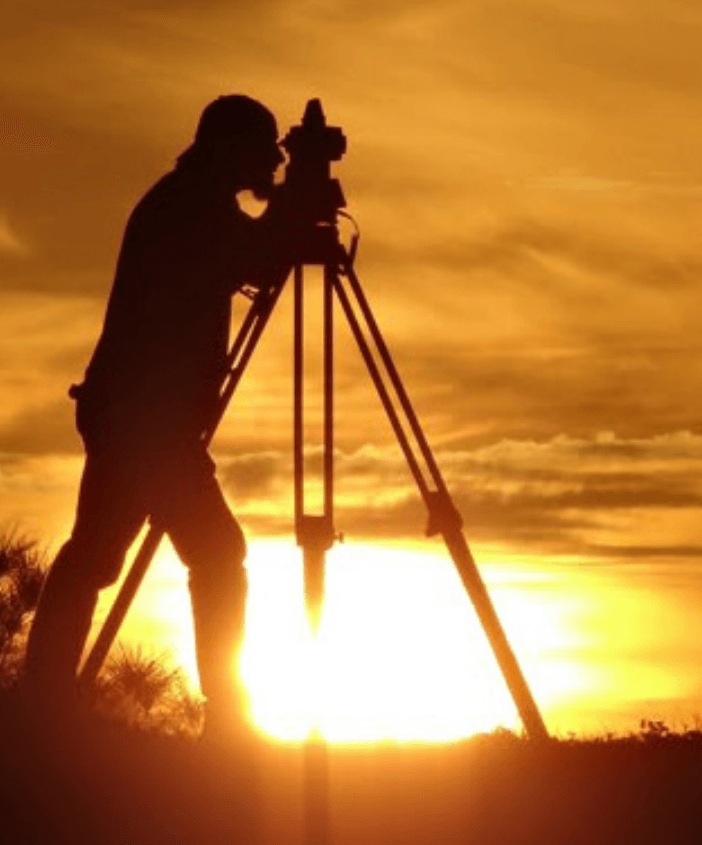
He explained what land surveying was all about, working outdoors, taking precise measurements, understanding land boundaries, and playing a crucial role in development projects. The more I learned about it, the more I realized it was exactly what I wanted: a career that combined technical skill, problem-solving, and time in the field. This wouldn't be just a career but an experience that would bring fulfillment and joy in the future.
Early Mentorship and Training
My father went ahead and took me to a land surveying company known as Geotech Investment and requested them to take me in and coach me before I joined school. There, I met an amazing woman Madam Nancy Kinanu who has been my mentor ever since. Her leadership and example inspired me deeply as a young woman just starting out. I was also fortunate to work with incredible colleagues who patiently taught me the ropes and made me feel part of the team.
I stayed at Geotech as an apprentice, soaking up every bit of knowledge and hands-on experience I could and eventually, I got employed there after school. It was more than just a workplace; it was a foundation that grounded me and gave me the confidence to keep going.
Education and Career Growth
To begin my academic journey, I enrolled for a Diploma in Land Surveying at the Kenya Institute of Surveying and Mapping (KISM). That foundation laid the groundwork for both my technical skills and field competence. Later, I advanced my studies by pursuing a Bachelor of Technology in Survey Technology at the Technical University of Kenya. These academic experiences shaped my career and gave me confidence to step into the professional world fully prepared.
After my studies, I was later employed at Earthscope Company Limited in Kiambu. My time there further exposed me to diverse projects and helped sharpen both my field and administrative skills. About a year later, I made the bold decision to resign and pursue a lifelong dream, to start my own company. That's how Geogenius Surveying and Conveyancing was born.
Challenges as a Woman in Surveying
I quickly discovered that the field demanded accuracy, resilience, and a lot of patience-especially as a woman navigating a male-dominated industry. Being a woman in land surveying hasn't always been easy. From the very beginning, I was aware that I was stepping into a space where women were the exception, not the norm.
During my training and early fieldwork, I often found myself being second-guessed, underestimated, or overlooked sometimes before I'd even had a chance to prove myself. Many would ask, "Are you the surveyor? Where's the man?" as if a woman couldn't possibly be the one in charge. I had to learn to stand tall literally and figuratively and let my work speak for itself. Over time, consistency, confidence, and professionalism slowly shifted how I was perceived.
The Work and the Impact
Still, there were real physical, emotional and mental challenges. Long hours in the sun, walking through rugged terrain, and having to constantly prove myself could be draining. But each challenge built resilience. I learned to trust my instincts, back my technical, human, and conceptual skills. Moreover, I precisely, advocate for myself.
Over the years, I've been fortunate to work on many exciting and technically demanding projects subdivisions, boundary reconfirmations, topographical surveys, cadastral surveys, engineering surveys, sectional property surveys. But beyond all the drawings and data points, my greatest pride has always been assisting the local wananchi in understanding their land rights.
There's something deeply fulfilling about sitting down with a landowner someone who might not have formal education or exposure to legal processes and helping them make sense of their land documents, boundaries, and the steps needed to secure ownership. I've seen how misinformation and lack of access to professionals can leave people vulnerable to exploitation. So, for me, surveying isn't just a job it's a service to the community, and a calling.
Helping a smallholder get their title deed, advising a widow on succession procedures, or guiding a youth/ women/men group or chama, through a land buying process those moments matter in fulfilling my calling. They remind me why I chose this path in the first place.
A Reminder from High School
I remember while at The Mary Leakey Girls' high school, where I schooled, I once scribbled on a notebook, "One day, I want to be an engineer" See what the Lord has done.
A Message to Young Surveyors
To all young surveyors or rather, young professionals always stand tall in your careers. You were born for such a time as this. The world needs your fresh perspective, your boldness, and your dedication. There will be days when the path feels uncertain or the challenges seem overwhelming, but never forget your purpose. Walk confidently, work diligently, and take up space you belong here.
Closing Thoughts
When I look back all I see is a young girl who only had a dream. I am proud of how far she has come from a young hopeful woman unsure of what the journey would look like, to a confident surveyor leading projects and making a real difference in her community. The journey hasn't always been easy, but every challenge has been an opportunity to grow stronger, knowledgeable, and wiser. So far, I've had the privilege of working in 14 counties across Kenya, and I'm looking forward to expanding that reach to all 47 counties.
As I look ahead, I am excited to continue breaking ground not just in surveying, but in paving the way for more women and young professionals to thrive in this field. Thank you for taking the time to read my story. I hope it encourages you to pursue your passion with determination and courage. The future of surveying and the communities we serve depends on you.
Section 1: Origins & Turning Points
1. What first drew you to GIS and at what point did you know this would become more than just a career, but a calling?
I have been a lover of Geography as a science since my early High School life, though when joining campus this wasn’t certain that I would pursue a discipline of Geography as a career.
Exposure to real-world scenarios helped me build my passion towards GIS. The available knowledge, skills, and tools propelled my love for Remote Sensing and GIS. This was gained mostly through attending conferences, seminars, trainings, and workshops related to the field of GIS.
Over time while still in campus, I managed to understand a niche I would love to occupy. Started by associating with the right people in those fields, attended events in the same field and after a short while I mastered why GIS mattered more hence changing my view to visualize GIS as a calling, more than a career.
2. Was there a single project or moment in your journey that dramatically shifted your understanding of what GIS could do?
The 2010 Haiti Earthquake shaped my understanding of how significant spatial data is in disaster response and humanitarian aid in general.
The reports from the event made me appreciate the importance of open geospatial technologies and tools, majorly OpenStreetMap. After much reading, I developed a passion for humanitarian GIS.
Other significant events can’t be singly sampled out, but a series of events have made me appreciate remote sensing and GIS more. Most importantly, reading reports, journals, and documentaries from major events has shaped my understanding significantly.
3. You’ve worked across sectors. What’s one lesson you’ve learned about GIS that holds true whether you’re mapping oil wells, urban floods, or electoral zones?
Data quality is relative, but the losses and damages that are associated with inaccuracies should make us rethink this analogy. I can always do better to improve the quality and the quantity of the spatial data.
Section 2: On Influence & Impact
1. GIS is often seen as “behind the scenes.” How do you push it to the frontlines of decision-making where you work?
In the different capacities I have served, I always strive to engage as many stakeholders, local governments, and communities as possible. Through such initiatives, I believe we are bridging the gap of the absence of information about the endless possibilities and strengths that GIS possesses.
2. Have you ever faced resistance from a client or team that didn’t see the value of geospatial data? How did you shift that perspective?
NO.
3. What’s one blind spot in the African GIS industry that we urgently need to confront?
Access to high-quality datasets.
Section 3: Personal Frameworks
1. How do you stay sharp in a field that keeps evolving both technically and ethically?
Researching emerging trends within the field. I also try as much as possible to stay informed through blogs, documentaries, journals, conferences, and workshops.
2. What’s your personal philosophy when it comes to mentoring the next generation of GIS professionals?
As long as we are still living, GIS will be here that long. Learn it and embrace it—we are spatial.
I believe that if I can explain what being spatial is to anyone, then I can baptize them into the GIS field. That way it is easier to inspire the next generation.
3. If you had the chance to re-educate the public about what GIS actually is, where would you start?
Redefining GIS using the most basic examples like land ownership, construction, and civil engineering.
Section 4: Quick Fire (Just for Fun)
1. What’s a GIS tool you secretly think is overrated?
Commercial tools and datasets.
2. Dream collab: If you could co-lead a project with any African city, which would it be and why?
Cape Town, Addis Ababa, or Kigali—they are surrounded by mountains which is beautiful, but the terrain can be interesting when solving some GIS-related issues like hydrology.
3. What non-GIS book, movie, or idea most influenced your professional thinking?
None.
4. Most bizarre or unexpected dataset you’ve ever worked with?
360-degree Street Level Images for a city.
5. Map you’d hang on your living room wall just for the vibe?
A detailed map of my home—micro-level.
Final Thought: If one lesson from your career could outlive you and be passed to every aspiring geospatial leader on the continent, what would it be?
"Knowing and mastering GIS is great, but making the world appreciate it is a greater call and perhaps the hardest challenge."