In Dar es Salaam, the conversation around OpenStreetMap was about more than maps.
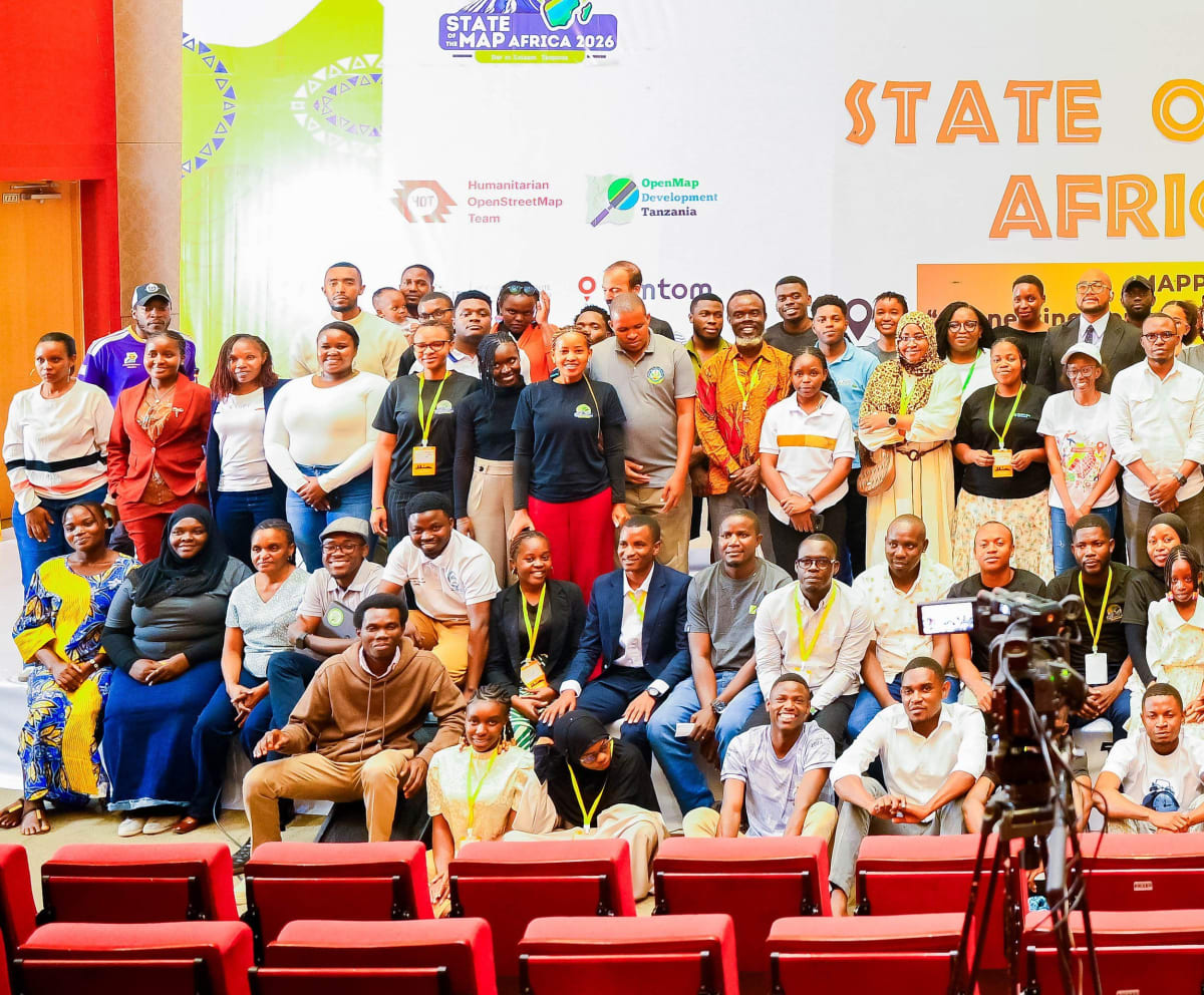
At State of the Map Africa 2026, the African open mapping community came together around a movement that is increasingly moving beyond collecting and editing geographic data. The discussions pointed towards a more mature ecosystem, one where communities are not only contributing data, but building tools, influencing decisions and using geospatial information to respond to some of the continent’s most pressing challenges.
For members of the OpenStreetMap community, this represents an important shift. State of the Map Africa is a regional conference centred on open mapping, open data, GIS and their impact across the continent, and the 2026 gathering in Dar es Salaam reflected how far that ecosystem has developed.
From Contributors to Builders
One of the strongest messages emerging from the conference was the changing role of local mapping communities.
OpenStreetMap has traditionally relied on communities to contribute roads, buildings, amenities and other features to an openly accessible geographic database. But the conversation is increasingly moving towards what happens after the data has been created.
For members of the OSM Kenya community attending the conference, this transition from contributor to builder was particularly significant. Sessions focused on local communities developing mapping infrastructure, creating web maps and building solutions around open data. The emphasis was no longer simply on putting places on the map, but on enabling communities to use that information to understand and address the problems around them.
This was also reflected in the growing number of national and local OSM communities across Africa. Experiences from countries such as Malawi demonstrated how open mapping is spreading beyond established hubs, with new communities developing their own leadership structures and events.
The result is a movement that increasingly feels continental rather than concentrated around a handful of established centres.
When Local Knowledge Meets Technology
Perhaps one of the most important strengths of open mapping in Africa is the relationship between technology and local knowledge.
Artificial intelligence featured prominently in discussions around the future of mapping. AI-assisted workflows can rapidly identify features and process large amounts of imagery, making it possible to map areas that would otherwise take considerable time to analyse manually. But automation does not eliminate the need for people.
The emerging approach can be summed up simply: AI drafts, humans confirm. An algorithm may identify a road or building from imagery, but a local mapper may know that the road floods every rainy season, that a building was recently demolished, or that an apparently visible path is no longer used.
That human layer remains essential to maintaining the relevance and reliability of open geospatial data.
The conference also showcased the growing combination of drones and AI. Drone LiDAR applications for disaster risk reduction in Comoros and drone-based tree identification for forestry demonstrated how increasingly accessible technologies can be combined with open mapping to address very specific African challenges.
“AI drafts, humans confirm.”
Maps That Matter When Lives Are at Risk
Disaster and conflict response emerged as one of the clearest demonstrations of the real-world value of OpenStreetMap.
Across Africa and other vulnerable regions, communities are using open mapping to document places where official or up-to-date geographic information may be limited. Mapping roads, buildings, infrastructure and vulnerable populations before a crisis occurs can give responders a critical advantage when disaster strikes.
Conference discussions highlighted applications ranging from conflict response and urban resilience in Sudan to vulnerability mapping for early cash disbursement in Malawi.
The principle is straightforward: when responders already understand the terrain, they do not have to start mapping it when the emergency has already begun. This is where open geospatial data begins to move from being a useful mapping resource to becoming part of disaster preparedness infrastructure.
From Maps to Decisions
Another important development is the growing use of open mapping data in institutional decision-making.
Rather than producing maps as standalone outputs, organisations and governments are increasingly combining open geospatial data with information on population, infrastructure, land use and environmental conditions. This allows spatial data to support questions that directly influence policy and investment: Where should resources go? Which communities are most vulnerable? Which infrastructure requires attention? Where should projects be prioritised?
For open mapping communities, this represents an important opportunity to demonstrate that the value of their work is not measured by the number of features added to a database, but by what those features enable people to understand and do.
Building Africa’s Next Generation of Mappers
The future of the movement may ultimately depend on who comes next.
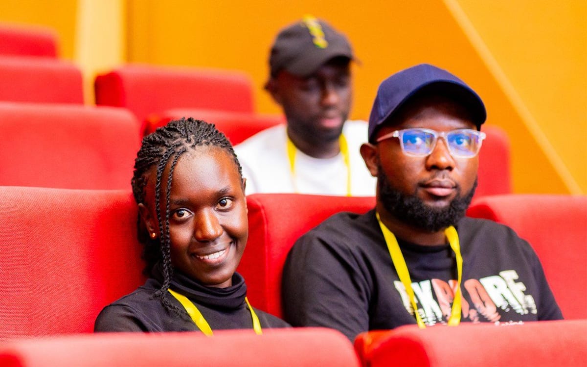
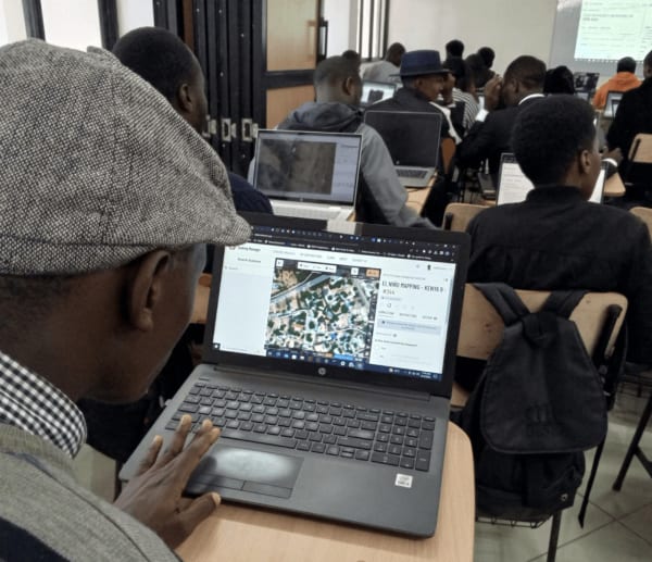
Students and young professionals featured strongly in the conference discussions, with mapathons, YouthMappers and mentorship programmes providing accessible entry points into the geospatial ecosystem. These initiatives lower the barrier to participation. A young person does not necessarily need expensive equipment or years of professional experience to begin contributing to an open mapping project.
That first experience can become the beginning of a much longer journey, from curious newcomer to mapper, analyst, developer, researcher or geospatial professional. For established communities such as OSM Kenya, this also creates an opportunity to strengthen mentorship and ensure that the knowledge generated within the movement continues to spread.
The Bigger Picture
Perhaps the most important message from State of the Map Africa 2026 is that open geospatial data is no longer a side project. It is infrastructure.
The continent’s mapping communities are becoming more organised, more technologically capable and increasingly connected to real-world decision-making. At the same time, technologies such as AI, drones and advanced Earth observation are opening new possibilities for what can be built on top of open spatial data.
The challenge now is to strengthen the systems around that growth: improving data quality, building institutional trust, supporting local leadership and creating pathways for more people to participate.
Africa does not simply need more maps. It needs communities capable of creating, validating and using spatial knowledge to solve African problems.
And if the conversations in Dar es Salaam are anything to go by, that future is already being mapped.