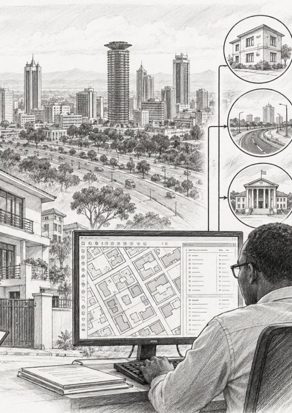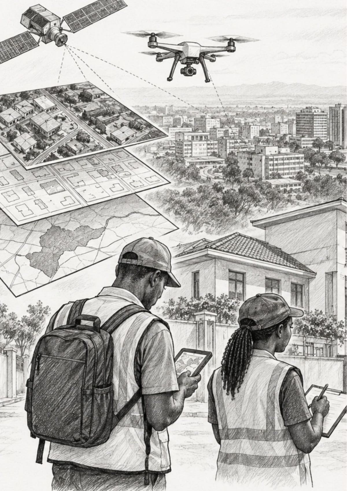
The construction industry is undergoing significant transformation as digital technologies change how infrastructure projects are planned, implemented and managed. Geospatial technologies, including Geographic Information Systems (GIS), Global Navigation Satellite Systems (GNSS), Unmanned Aerial Vehicles (UAVs), remote sensing and Building Information Modelling (BIM), are becoming essential tools in modern construction.
Traditionally, construction projects have relied on manual surveying, paper-based drawings, periodic site inspections and disconnected communication systems. These approaches can lead to project delays, cost overruns, inefficient resource allocation and limited access to real-time information.
Geospatial technologies address these challenges by providing accurate spatial data, improving monitoring and supporting informed decision-making throughout a project’s lifecycle.
GIS: Smarter Construction Planning
Geographic Information Systems enable the collection, storage, analysis and visualisation of geographically referenced data. In construction, GIS supports site selection, infrastructure planning, environmental assessment and logistics management.
Engineers can use GIS to evaluate potential sites based on terrain, soil conditions, land use, existing infrastructure and environmental sensitivity. It also helps identify suitable routes for roads, pipelines and power lines while considering geographical constraints and potential construction costs.
GIS is equally valuable in identifying flood-prone areas, environmentally sensitive locations and land-use conflicts. During construction, spatial analysis can improve material delivery routes, storage planning and site accessibility. After completion, GIS supports infrastructure maintenance and asset management.
GNSS: Improving Surveying Accuracy
Global Navigation Satellite Systems have transformed field surveying by providing accurate positioning information for construction activities. They support topographic mapping, the establishment of control points, construction layout, foundation positioning and earthwork volume calculations.
Real-Time Kinematic (RTK) GNSS technology can achieve centimetre-level positioning accuracy under suitable conditions. This helps construction teams establish reliable layouts and minimise errors involving structural alignment, elevations and boundaries. Improved surveying accuracy reduces the likelihood of costly corrections, rework and disputes, ensuring that construction activities correspond more closely with approved designs.
Drones: Monitoring Construction Progress
Unmanned Aerial Vehicles, commonly known as drones, have introduced new ways of capturing and analysing construction site information.
Regular aerial surveys allow project teams to monitor progress and compare actual site conditions with project schedules and designs. Drone imagery can also support the measurement of excavations, embankments and stockpiles, as well as the creation of orthomosaic maps and three-dimensional models.
These visual records improve reporting and communication between contractors, consultants and clients. Drones can also reduce the need for personnel to enter certain hazardous or difficult-to-access areas, supporting safer site monitoring.
“The digital transformation of construction is already underway, and geospatial technology is at its heart.”
Remote Sensing and Satellite Data
Remote sensing provides large-scale information that supports infrastructure planning, particularly during the early stages of a project. Satellite imagery can help monitor land-use changes, assess terrain, identify flood-prone areas and track urban expansion. This information is especially useful when planning infrastructure across large geographical areas or where ground-based data is limited.
When combined with GIS, GNSS and drone imagery, remote sensing provides a broader understanding of site conditions and potential environmental constraints.
Integrating BIM and GIS
Building Information Modelling creates detailed digital representations of buildings, including their geometry, materials and structural systems. GIS complements BIM by providing information about the geographical context in which a building is located.
Integrating the two technologies improves coordination between architectural, structural and mechanical, electrical and plumbing (MEP) systems. It also supports early identification of design conflicts, construction scheduling and long-term infrastructure management.
For example, BIM can provide detailed information about a hospital’s design, while GIS can help assess its accessibility, surrounding population and proximity to emergency services. Together, these technologies provide a more comprehensive understanding of the proposed development.
Benefits and Challenges of Adoption
Geospatial technologies offer several benefits to the construction industry. Accurate and timely information improves decision-making, while digital surveying and monitoring can increase efficiency and support better project scheduling. Early identification of site constraints and design conflicts can reduce rework, material wastage and unnecessary expenditure. Digital maps and visual records also improve transparency, communication and accountability among project stakeholders.
However, adoption remains limited by several challenges. These include the high cost of equipment and software, shortages of skilled professionals, difficulties integrating data across different platforms, regulatory requirements and resistance to organisational change. Addressing these barriers requires investment in technology, professional training, compatible systems and supportive policies.
The Future of Digital Construction
The future of construction will increasingly involve the integration of geospatial technologies with artificial intelligence (AI), digital twins and the Internet of Things (IoT).
AI can support the prediction of construction risks, scheduling delays and potential cost overruns. Digital twins provide digital representations of physical infrastructure that can be updated with real-world information for monitoring and simulation. IoT sensors can provide information about structural conditions, equipment performance and the surrounding environment, while cloud-based platforms improve collaboration between teams working in different locations.
These developments are expected to strengthen the role of geospatial information in infrastructure design, construction and management.
Geospatial Technology in Africa
Across Africa, geospatial technologies offer practical solutions to infrastructure development challenges. In road construction, GIS supports route planning, while GNSS improves surveying and alignment accuracy. Drones can provide regular visual updates, helping reduce reporting delays and improve project monitoring. In healthcare infrastructure, spatial analysis can support site selection and assessments of accessibility and service coverage.
These applications demonstrate the practical value of geospatial technologies. Their effectiveness, however, depends on reliable data, appropriate technical skills and successful integration into construction workflows.
Conclusion
Geospatial technologies are transforming construction by improving precision, efficiency and decision-making throughout the project lifecycle. From GIS-based planning and GNSS surveying to drone monitoring, remote sensing and BIM integration, these tools are helping the industry address longstanding challenges.
Although cost, skills shortages and data integration remain obstacles, continued investment and professional development can support wider adoption. As digital technologies advance, geospatial information will remain central to building, monitoring and managing infrastructure more effectively in Africa and beyond.
The digital transformation of construction is already underway, and geospatial technology is at its heart.