A city cannot effectively manage what it cannot see.
For Nairobi, one of Kenya’s fastest-growing urban centres, understanding where properties are, what has been built on them, and how those properties are changing is becoming increasingly important, not only for taxation, but for the broader management of the city. This is where geospatial technology is quietly becoming part of Nairobi’s urban governance story.
Through a property tax reform project, the Local Government Revenue Initiative (LoGRI) is collaborating with Nairobi City County to improve property identification, mapping and valuation. The project, which ran from February to December 2025, is designed to support Nairobi’s transition toward a property valuation system that accounts for buildings and other improvements alongside land value.
At the centre of this process is GIS.
From Imagery to a Property Map
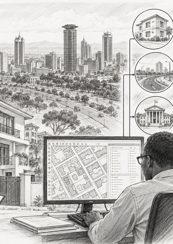
The process begins from above. Remote sensing techniques and orthophotographs are used to identify and map buildings across designated areas. This information is then combined with existing spatial data held by Nairobi City County, allowing the available property information to be refined, updated and improved.
But imagery alone cannot tell the entire story. Once sections have been mapped, field teams collect additional information about the identified properties, including visible external characteristics. The fieldwork also provides an opportunity to verify information relating to development approvals and business permits within the county’s records. The approach creates a useful relationship between what the map can see and what the field can verify.
Rather than waiting for an entire area to be mapped before beginning fieldwork, the project divides the area into smaller zones. Mapping and field collection can therefore progress simultaneously, allowing information to move through the workflow in stages and making the process more efficient. The University of Nairobi Enterprises and Services (UNES) is partnering with Nairobi City County to manage field staff and oversee the field data collection process.
Why This Matters Beyond Taxation
Property taxation may be the immediate objective, but the resulting spatial information has much wider potential.
A reliable digital property database can help a city understand the distribution and characteristics of its built environment. Property identification and mapping can support valuation, billing and administration, while also creating information that can contribute to infrastructure planning and wider urban management. LoGRI’s guidance on property identification specifically highlights the potential for maps and property identifiers developed for taxation to support broader urban planning purposes.
That is where the project becomes particularly relevant to the future of smart cities. A city with better spatial information is better positioned to ask questions such as: Where is development accelerating? Where is infrastructure demand increasing? Which areas remain poorly served? How is the built environment changing?

The map becomes more than a visual representation of the city. It becomes part of the city’s decision-making infrastructure.
Building a More Connected Urban Data System
Nairobi’s experience also highlights a broader challenge facing many African cities: the problem is not always a lack of data, but fragmented, incomplete or outdated data.
LoGRI notes that property tax systems in Kenya have historically been affected by incomplete property registries, weak compliance and the exclusion of buildings and other improvements from taxation. The solution therefore requires more than simply collecting new information. Different datasets, departments and systems need to work together.
This is an increasingly important principle in modern geospatial practice: the value of spatial data grows when it can be connected to other information and used repeatedly for different decisions. For Nairobi, a property dataset created for taxation could eventually contribute to a much broader understanding of the city, from land administration and infrastructure planning to service delivery and urban development.
The Future Is Spatial
Nairobi’s property mapping initiative offers a useful glimpse into where urban governance is heading. The future city will not be managed only through roads, buildings and physical infrastructure. It will increasingly depend on the digital information describing those assets: where they are, how they are changing and what they mean for the people who use them.
“A map created to understand property can become a map that helps understand the city.”
GIS, remote sensing, field data collection and increasingly automated valuation and analytics can help build that digital foundation. The bigger opportunity is ensuring that the information collected for one government function does not remain locked within that function.
A map created to understand property can become a map that helps understand the city. And as Nairobi continues to grow, that may ultimately be one of the most important contributions geospatial technology can make to its urban future.
Sources and Acknowledgements
This feature is an original editorial interpretation by Afrospatial Magazine, based primarily on publicly available project information from the Local Government Revenue Initiative (LoGRI), University of Toronto: “GIS Mapping and Data Collection for Property Valuation in Nairobi, Kenya”. Key contributors acknowledged in the project: LoGRI; Nairobi City County; University of Nairobi Enterprises and Services (UNES). Additional reference: Schenker, X. (2024), “Property Identification and Mapping for Property Taxation”, LoGRI Guidance Note 03, University of Toronto. Information in this feature reflects publicly available project documentation and is presented for educational and editorial purposes. For the latest project status or technical details, readers should consult LoGRI and Nairobi City County directly.