Maps have been vital in human civilization as we seek to understand the world around us. The art and science of cartography have evolved and significantly transformed from the ages of cave wall carvings to the present digital maps. Technology has been at the centre of this revolution, playing an essential role in advancing from pen-and-paper maps to the animated maps we have today.

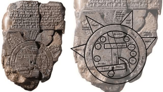
In ancient times, map-making was a tedious process that involved manually drawing and calligraphing maps. The primitive maps were relied on for mapping trade routes and planning military activity using materials such as animal skins to outline landmarks. Even though it was an impressive form of art, this method was prone to human error and unsustainable due to the dynamic nature of the world. The early voyagers also used compasses and celestial bodies to estimate direction, which were sometimes unreliable.
Around the 16th century, integral advancements set the foundation for modern cartography. The development of projection techniques by Geredus Mercator formed the basis for accurately translating the spherical earth into a flat surface. The advent of aerial photography in the 19th century revolutionized cartography, providing a bird’s-eye view of the earth with great detail. Over time, the 3D concept emerged by adding terrain data such as elevation to create topographical maps representing landforms in 3D on paper.
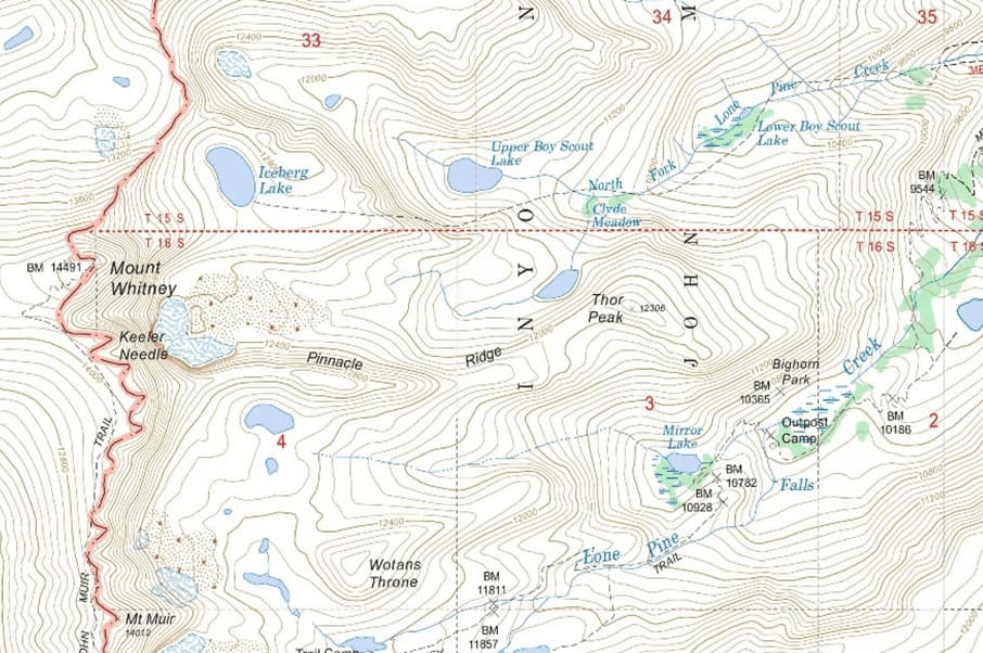
Technological advancements have propelled the evolution of maps. We now have interactive maps with 2D, 3D, and 4D visualization, made possible by innovation and the enhancement of computer hardware and software. Computers have been a key component in the digitization of maps, enabling the visualization of complex information that would otherwise be difficult to read and comprehend. Visualization techniques such as animation have created an immersive experience, making maps sophisticated and fun to interact with.
Advancements in remote sensing have enabled efficient capturing of the earth, providing readily available information and facilitating updates such as new roads and buildings. High-resolution satellite imagery and Light Detection and Ranging (LiDAR) technology continue to revolutionize earth observation with enhanced detail and accuracy. Geographic Information System (GIS) has also enriched maps with layers of various information types, contributing to the interactive nature of modern maps.
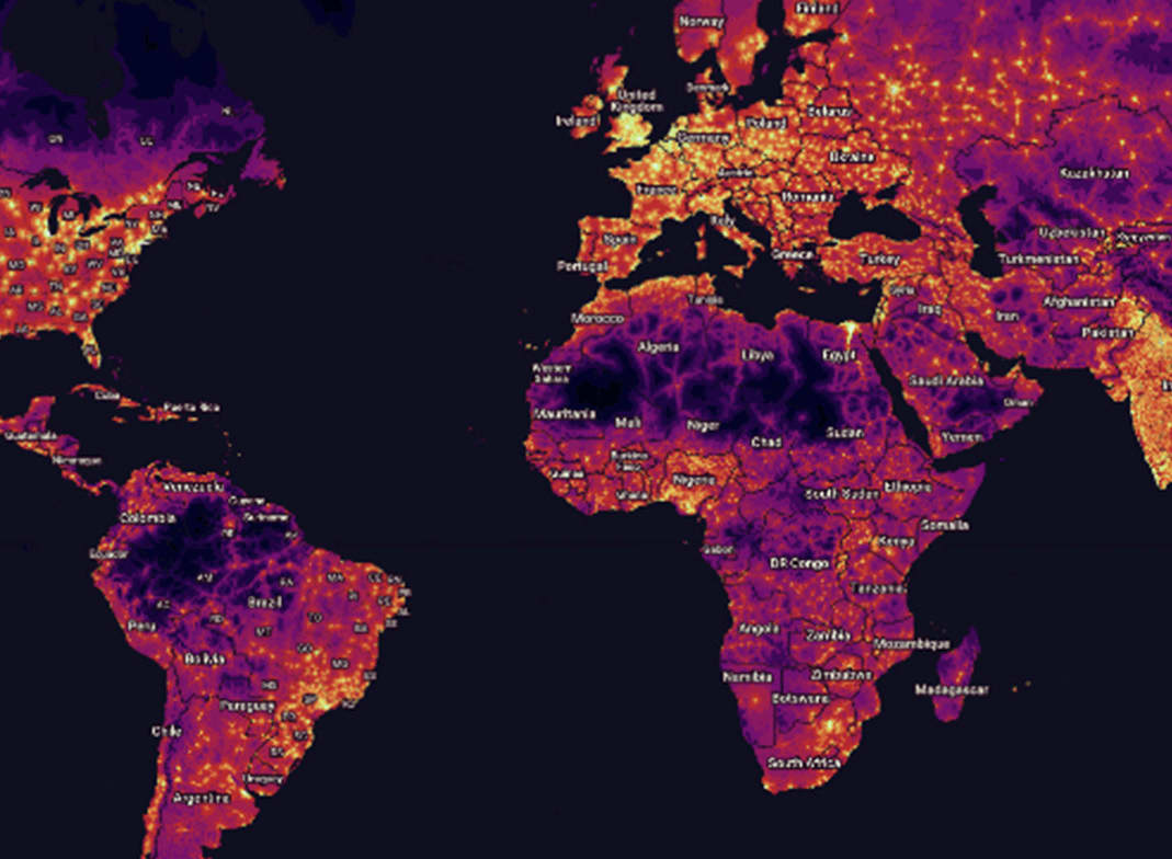
While physical maps were the only way to get to places in the past, we now have the Global Positioning System (GPS) which gives precise locations to guide us when exploring new destinations. The system was originally used for military purposes only but was opened up to civilians in the late 1990s. GPS has enabled access to real-time navigation through smartphones and GPS devices, making paper maps almost obsolete. Satellites have played a huge role in modern mapping by supporting sensors for earth observation and enabling real-time navigation through GPS signals.
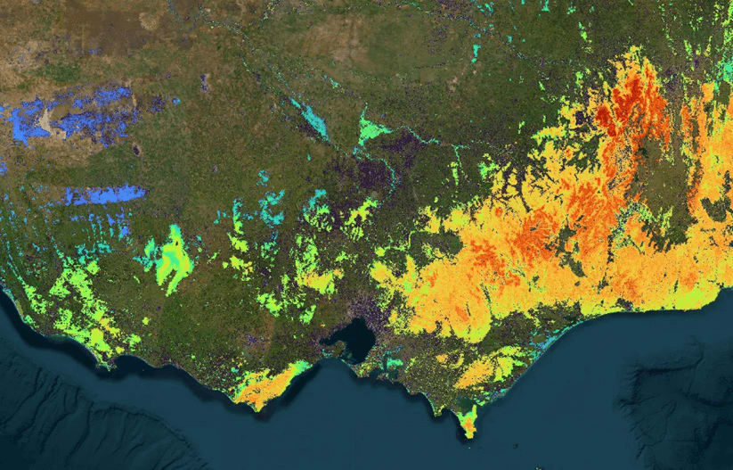
Applications such as Google Maps have utilized crowdsourcing for real-time mapping. Users can contribute data such as photographs and reviews to improve accuracy and give more information. Modern maps have vast applications in various sectors, including urban planning and navigation in apps such as Uber.