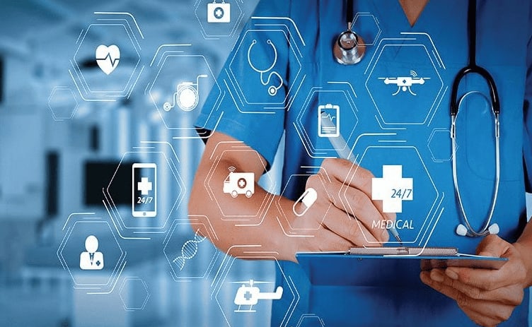
The application of geographic information systems (GIS) technology for healthcare decisions leads to major enhancements through its multi-capabilities of spatial data analysis, organization and collection. Through spatial data integration, GIS technology enables experts to make better choices that let them detect patterns in their findings. The core function of GIS in healthcare relies on developing spatial infrastructure to understand health-related phenomena. Health providers gain comprehensive insights into all levels, including regional health systems by using GIS information and technology to investigate area-based diseases along with environmental hazards and healthcare resource distribution patterns. GIS analysis generates improved knowledge about how spatial health variables affect each other through geographic element analysis.
In this sector, GIS is frequently used for disease mapping. The technique enables GIS technologies to display clusters visually while operating with a time-based disease spread monitoring system that adds health data maps for improved assessment. The distribution of medical resources can reach maximum efficiency when healthcare experts collaborate with policymakers and epidemiologists through this information to design specific intervention programs.
The optimization of healthcare facility locations becomes more efficient through GIS information and technologies because it unites demographic distribution information with accessibility factors and population density measurements. For example, healthcare facilities can determine optimal site selection for their facilities through spatial analysis of areas that lack adequate access to healthcare to optimize solutions.
A case scenario where GIS can help with disease mapping is mapping malaria-related factors and trends. Malaria is still responsible for fatal cases and mortalities, remaining a crucial health issue among developing nations. As environmental elements make up most risk factors for developing diseases, GIS can help map how the transmission of malaria depends directly on environmental factors. These elements directly affect its patterns and characteristics, particularly humidity, temperature, vegetation and precipitation.
Mapping malaria occurrence and trends is required for assessing public health at all levels, including nationwide. Geographical representations of maps enable the identification of locations with increased disease rates and notable pattern distributions. Geospatial analysis has emerged as a fundamental method that public health sector uses for epidemiology and public health projects because of escalating health problem intricacies.
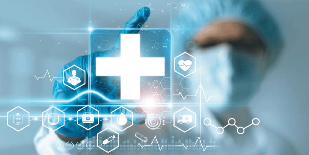
The impact of this resource extends to medical facility resource management and healthcare institutions’ planning processes. These systems enable dataset manipulation, interpretation, display, collection, management, analysis, and integration with spatio-temporal reference. Healthcare experts establish important risk parameters during the process of disease spread estimation and mapping through system assessment protocols. These systems fulfill essential roles by creating definitions for malaria epidemiology while establishing its environmental factors’ relationship. Spaceborne earth-observation imagery enables much easier access to vast and remote regions’ data, and this technique has advanced research on illness prevalence and its correlation with vector distribution.
Human migration directly affects the spread of infectious diseases together with medication resistance development and pathogen formation. GIS provides a platform to monitor human movements and their time of movement by creating simulations of distribution pathways and locations of both affected zones and people.
With this method, healthcare experts and scientists can determine the risk status of fast disease spread. The analysis of travel time serves as a great method to determine vulnerable population groups alongside affected geographical areas. The geographic system in travel time calculation performs a network distance measurement between two sites that operate through transportation networks. The actual travel time depends on speed standards together with three-route constraints and point specifications and length requirements. Travel time serves as the main tool in the public health sector to determine healthcare facility accessibility. The two distinct methods to evaluate medical facilities’ geographic accessibility use distance- and area-oriented approaches.
The travel time or distance determines distance-oriented metrics. On the other hand, the area-oriented metrics outline distinct territorial units such as states or towns. GIS calculates travel times through road-quality adjustments and type-based evaluations for network transportation investigations. Network analysis in GIS generates maps that present the siting information for health services.
GIS technology enables efficient scheduling of health services through route-modeling and estimation of transportation elements which allows better delivery of home treatment programs such as polio vaccinations. The analysis of road connections allows ambulances to reach patients in a suitable timeframe. Online dynamic maps provide patients with an effortless method to identify health services located near their residential or workplace areas.
Healthcare facilities and services are unevenly and unfairly distributed throughout the world, especially in low-income areas. Healthcare services encounter these problems the most: infrastructure and the physical features or structure of land. Drone technology represents the best geospatial technology solution for such incidents. Unmanned aerial vehicles (UAVs) serve data collection needs for nations with isolation measures in place across inaccessible regions like dense forests.
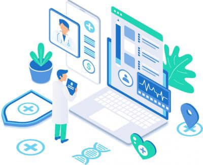
These services are provided by health organizations and institutions in conjunction with technology-based organizations. These collaborations result in social application models and prototypes across different sectors. A case scenario is a drone prototype design that was made to serve as a life-saving delivery system. The drone contained innovative IoT and AI elements alongside an independent camera device and sensor system and two-way radio system and video screen and was used to reach emergency victims before directing them to proper healthcare services. Drone signals can enable doctors to deliver emergency treatment directions to victims from their positions in hospitals and clinics. Drones can play a role in supplying compact aid supplies after national or environmental disasters strike. Medical personnel can employ drones to distribute medical materials across difficulty-accessed areas.
According to reports the number of people needing organ transplants in developing nations continues to escalate rapidly. Drone technologies will prove to be lifesaving tools under such emergency conditions. The implementation of such geospatial technologies leads to broader patient networking across the globe while enabling access to physically impossible services. The current medical system needs an appropriate system that is effectively established and implemented to enhance health standards and standardize personalized quality care in bigger patient networks for this technological fusion to succeed.
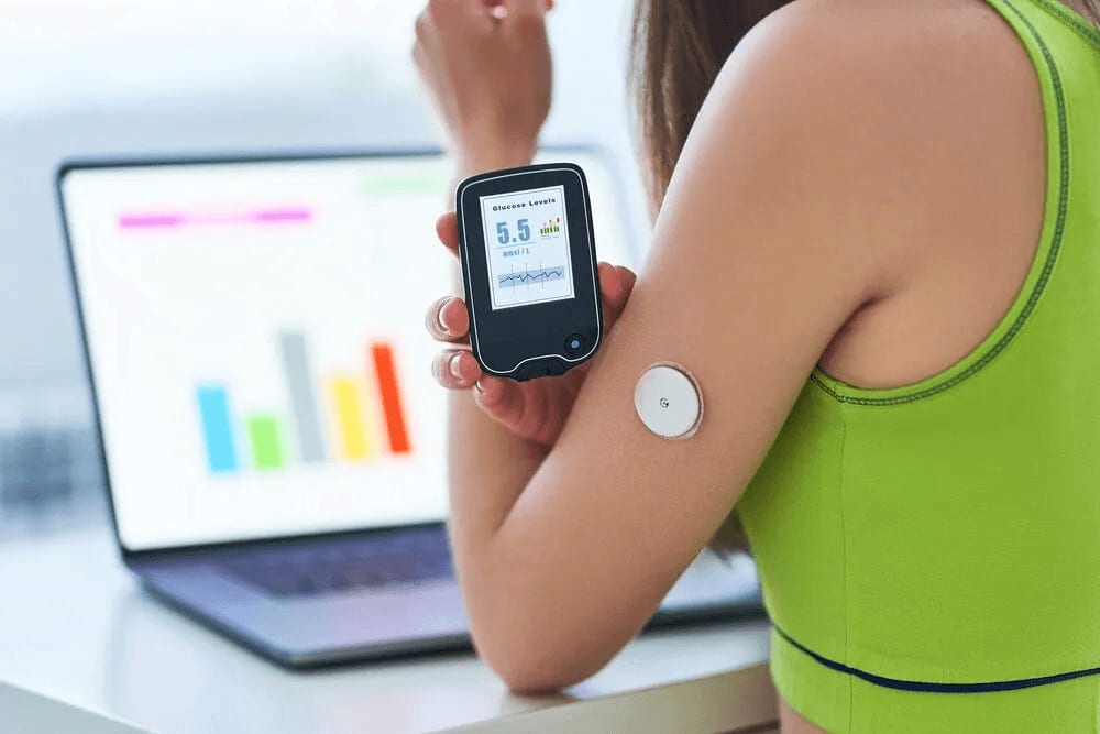
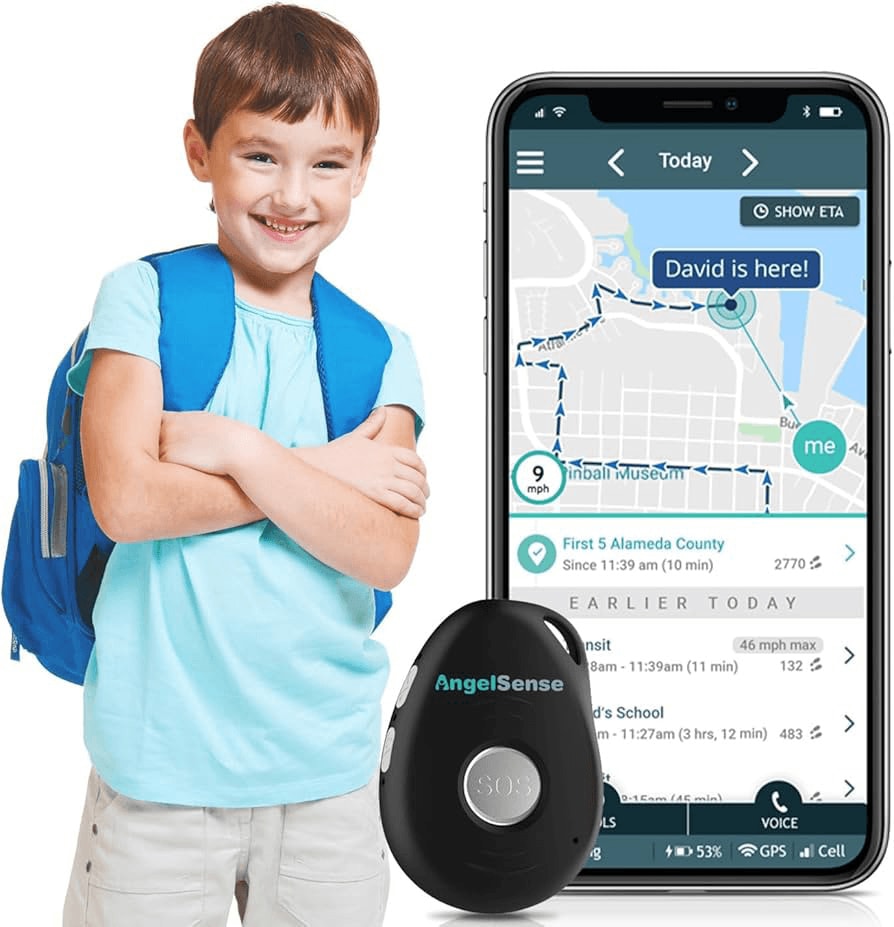
Wearable technology (WT) is one new development that is significantly influencing patient healthcare transformation systems. It is becoming more portable, which means that new alternatives to conventional ways of providing patients with services like interaction, medical testing, treatment delivery, and data collection are coming up. Geospatial technological devices are becoming a savior for memory loss, autistic, Parkinson’s, disoriented, and Alzheimer’s patients. Wearables, together with GPS tracking services, enable the finding of senior citizens in a more secure and faster way. Mindme, Project Lifesaver, and Safe Link are some new solutions that help keep patients with dementia safe and secure while addressing wandering.
Some developed countries’ governments are paying for the hardware installations and services associated with GPS tracking devices for children with severe autism and others in similar situations due to the growing number of applications for these devices. Children on the autism spectrum, who cannot identify primary facial emotions, are also benefitting greatly from the use of geospatial technologies. For example, prominent research institutions worldwide are utilizing Google Glass to assist kids in differentiating between unique facial gestures.
Restricted information related to hospital staff and patient demography and populace and the availability of healthcare equipment, directly worsens the patient’s status, in turn increasing the medical procedure completion time and mean hospital stay duration. All these directly affect the overall efficiency of the healthcare institution and system.
A geospatial-related system is one of the main solutions to these problems. The collected and stored information can be used in a hotspot analysis to analyze areas, departments, or patients that are improving the most, that are stagnant, and those that are the least performing.
For example, through the use of geospatial-based key performance indicators (KPIs), healthcare institutions can significantly enhance their comprehension and assessment of demand status by breaking down data stored in various categories, such as patient wait times and case numbers, and then dividing the data into easily comprehensible groups with varying time frames. The process of hiring a sufficient number of medical support personnel is improved by this solution, helping reduce the cost and satisfy the demands of higher demand on crucial days, keeping medical standards at optimum performance and lightening the resource pressure.
Hospital and clinic-based medical staff need to understand their communities for better treatment assessment of their potential patient base. Geospatial-based data analysis tools have proven themselves to be a substantial improvement in decision frameworks for implementing this type of analysis. Healthcare systems employ geospatial services for population identification when determining areas needing private healthcare services and facilities.
The system delivers beneficial information through visuals about a region’s different population groups and their attitudes toward public and private healthcare facilities, together with existing healthcare systems and facilities. The analytical tools help demonstrate data demographics thus allowing developers to establish a database management system that determines important areas lacking both hospital networking systems and medical facilities.
Private health sector institutions and healthcare experts are developing their use of different geospatial technology domains through observation of public health sector applications in medical service management and planning. GIS analysis of population data in combination with facility evaluations, regulatory criteria, and service needs assessment generates valuable information that drives improvement in community health, which in turn drives development in other life aspects.
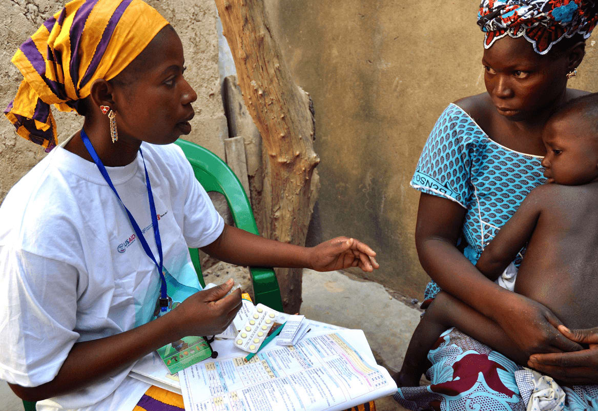
GIS stands as an essential medical tool that enhances disease monitoring and tracking, resource planning, disaster recovery, infrastructure management and planning, and emergency response. It also improves environmental health management and precise care provision. GIS also facilitates telemedicine and other mobile and internet-based solutions. It also encourages healthcare-related innovation and creativity because users can visualize and process integrated spatial data.
The healthcare sector will experience an explosive growth of GIS capabilities since its core capabilities keep expanding. Healthcare-related GIS development will undergo substantial advances because of real-time information and ground-breaking technologies. GIS systems can better enhance health outcomes when data privacy breaches, standardization concerns, and interdisciplinary coordination concerns are correctly resolved.
Understanding the limitations of GIS tools regarding data quality and analytical constraints means researchers must correctly interpret results through multiple research methods to achieve substantial healthcare findings. Despite their utility in healthcare delivery and planning the complete realization of GIS in public health through the elimination of these obstacles demands continuous technological improvements and training. GIS establishes an essential role in developing effective healthcare solutions when healthcare systems adopt data-based and community-oriented models and techniques.