
VertiGIS closes £87m take-private of location data specialist 1Spatial
VertiGIS has completed its £87.1m purchase of 1Spatial, adding rules-based location data management and entering the UK, France and Benelux markets.
Source: 1Spatial
Topic
Companies, products, funding, standards, partnerships and the policies that shape the geospatial sector.
VertiGIS has completed its £87.1m purchase of 1Spatial, adding rules-based location data management and entering the UK, France and Benelux markets.
Source: 1Spatial
GIS Cloud, an online mapping technology scaleup, has doubled its user growth. This expansion is driven by AI capabilities that enable organizations to broaden access to geospatial data without needing more specialist GIS teams.
Source: GeoConnexion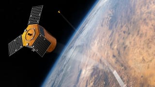
Berlin-based start-up LiveEO leverages satellite data and artificial intelligence to efficiently monitor critical infrastructure, including railway lines, power grids, and pipelines, offering a scalable alternative to traditional methods.
Source: Gtai
York Space Systems and ATLAS Space Operations have activated a new 3.7-metre ground station antenna at Rwanda's Mwulire teleport. This expansion doubles the site's capacity for simultaneous satellite contacts, enhancing equatorial coverage across ATLAS's global network and strengthening Rwanda's…
Source: Space in Africa
This weekly round-up covers key geospatial industry updates, including upcoming conferences like Locate26 and Geo Connect Asia, land administration changes in NSW, Queensland, and Victoria, and a comprehensive list of current geospatial job vacancies across Australia.
Source: Spatial Source
TESSERA, a global geospatial AI foundation model, is now openly available on AWS Open Data, providing analysis-ready Earth observation embeddings. This initiative democratizes access to complex satellite data, enabling researchers and organizations to tackle global challenges more effectively.
Source: AWSThe African Space Agency and the European Association of Remote Sensing Companies (EARSC) have signed an Agreement of Intent to strengthen cooperation, innovation, and partnerships in space and Earth observation. This collaboration aims to unlock space technology's potential for sustainable…
Source: Tech Review AfricaMomentus Inc. successfully demonstrated an AI-enabled LiDAR and optical imaging sensor suite during an in-orbit Rendezvous and Proximity Operations (RPO) mission. The Vigoride-7 Orbital Service Vehicle autonomously tracked a NASA satellite, validating low-cost sensor architectures for future…
Source: SatNews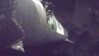
SpaceX's Starship 14 mission successfully achieved orbital insertion and deployed 26 Starlink V3 satellites, marking a significant milestone despite a shortened mission and controlled ocean landing. This first orbital attempt provides crucial data for future reusability goals.
Source: Stuff South Africa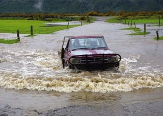
New Zealand's West Coast Regional Council and Earth Sciences NZ have launched the country's first operational flood inundation forecasting system for Westport. This innovative system integrates rapid mapping, weather forecasts, and river flow modeling to provide critical insights into potential…
Source: Spatial Source