
Comprehensive Spatial Data Collection Mission in Siaya and Busia Counties
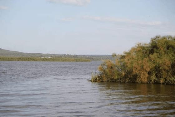
The Directorate of Resource Surveys and Remote Sensing (DRSRS) has partnered with the Regional Centre for Mapping of Resources for Development (RCMRD) to collect extensive spatial data on the Yala swamps in Siaya and Busia counties, Kenya, to aid in sustainable resource management and environmental conservation.
The primary objective is to amass detailed spatial data related to the Yala swamps, encompassing topography, land use patterns, vegetation cover, water resources, and human settlements within the region. Through the utilization of existing data and expertise, the partnership aims to construct a unified and comprehensive spatial database, collaborating closely with government agencies responsible for environmental management, water resources, and local governance.
The engagement of stakeholders, including local communities, NGOs, and academic institutions, is deemed critical for the mission’s success. Their input and on-the-ground knowledge will enrich the dataset, ensuring the collected information is both accurate and contextually relevant. The collaboration places a strong emphasis on capacity-building within local communities and government agencies. Training programs on geospatial technologies and data interpretation will empower stakeholders to actively participate in future resource management initiatives.
The amassed spatial data will serve as a baseline for ongoing environmental monitoring. Establishing a robust monitoring system, the partnership aims to track changes in the Yala swamps over time and identify emerging challenges requiring prompt intervention. This collaboration facilitates a holistic understanding of the Yala swamp ecosystem, integrating scientific data with local knowledge. This ensures that management strategies are not only effective but also culturally sensitive.
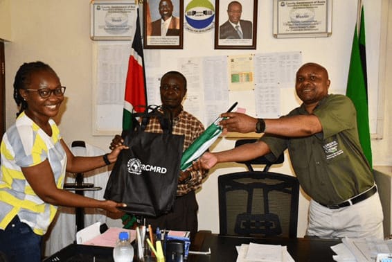
Government agencies, NGOs, and local communities can utilize this information to plan and implement interventions promoting sustainable development while preserving the ecological integrity of the Yala swamps. To ensure the collected data meets global standards and can be applied in a broader context, leveraging the expertise of DRS&GRI and RCMRD allows the incorporation of international best practices in geospatial research and resource management.
The Directorate of Resource Surveys, Geospatial Research International, and the Regional Centre for Mapping of Resources for Development have partnered to protect the Yala swamps in Siaya and Busia counties, promoting sustainable resource management and a resilient ecosystem.