
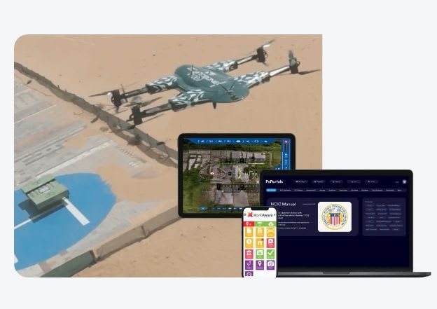
ZenaTech plans AI suite to speed drone LiDAR survey processing
ZenaTech, a Nasdaq-listed drone and Drone as a Service (DaaS) company, announced on 22 October 2026 a proprietary AI software suite, ZenaAI, for its land survey operations. It would process point clouds captured by ZenaDrone LiDAR aircraft.
Planned functions include deep-learning classification that separates ground from canopy, buildings, utility lines and vegetation to produce digital terrain models. Computer vision would extract features such as kerb lines and retaining walls into CAD and BIM formats, while filtering noise and tagging assets such as manholes and hydrants.
The company says post-processing could fall by up to 80%, with classified datasets delivered within hours of a flight and, ultimately, in minutes rather than days. The suite is in development and testing. Trials across land surveying, infrastructure monitoring and utility inspection are expected next year. ZenaTech intends to apply it across its acquired surveying businesses, including NorthGroup Consulting in Australia.
Why it matters: Manual point cloud classification is a bottleneck for drone LiDAR surveys everywhere. If the claimed speed-ups hold up in independent testing, survey firms could deliver more projects with the same crews, though performance claims remain unverified.