
GIS & Mapping
Unlocking 3D Cadastres: How Virtual Reality is Revolutionizing Land Management
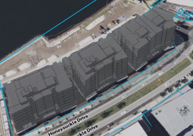
New research from UNSW demonstrates the significant potential of virtual reality (VR) to enhance 3D cadastral applications. This technology offers an intuitive way for professionals to visualize complex vertical land interests, improving spatial understanding and stakeholder engagement in land…