
UN Adopts 'Correct the Map' Resolution, Challenges Outdated Cartography
In a historic move, the United Nations General Assembly has formally adopted the 'Correct the Map' resolution with an overwhelming majority of 164 to 1 votes. The resolution signifies a global shift away from the reliance on 16th-century Mercator projections, which often distort the size of landmasses.
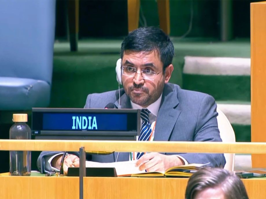
India, while supporting the resolution, emphasized the importance of technological neutrality. Indian diplomat Raghoo Puri stated, 'Our delegation supports accurate cartographic representation but insists on methodological flexibility, allowing countries and cartographers to choose projections that best meet their needs.'
Despite its navigational benefits, the Mercator projection misrepresents areas like Greenland and Africa, with the latter being 14 times larger than Greenland. The resolution encourages the use of equal-area projections to offer a more realistic view of the globe's geography.