
Environment Agency flood tool built on OS data saves 400 hours in first year
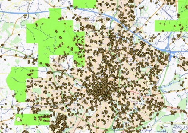
The Environment Agency (EA) in England has built a Stakeholder and Beneficiary Mapping Tool (SBMT), developed with Esri, that uses Ordnance Survey data to show who could benefit from flood risk and environmental projects, who owns affected land and where partners could help. It is open to EA staff and to bodies in the Public Sector Geospatial Agreement.
OS National Geographic Database layers, including buildings and water networks, sit alongside boundary and topographic products and are combined with flood, erosion, land ownership, environmental and socio-demographic data. In its first year the tool saved over 400 hours and nearly £130,000, and more than 300 staff use it. One analysis of flood risk at Tesco's 200 priority stores took minutes instead of about 40 hours.
Planned additions include natural capital, Natural England and deprivation data, more NGD datasets, and possible access for water companies and wildlife trusts.
Why it matters: The tool shows how authoritative national base data, combined with risk and ownership layers, can replace manual analysis in flood programmes. Agencies elsewhere building similar beneficiary or land-ownership tools can use the measured time and cost savings as a benchmark.