
TUDelft Exhibition: The Evolution of Spatial Data Acquisition from Theodolite to Satellite
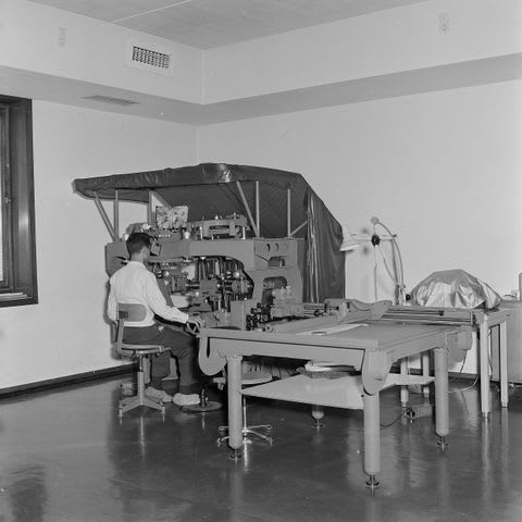
The programme Tailor-Made Approach to Faculty Collections in collaboration with Faculty of Civil Engineering and Geosciences, presents the exhibition “From Theodolite to Satellite: The Development of Spatial Data Acquisition”. The exhibition tells the story of how humans have mapped the Earth over time on an increasingly larger scale and from greater distances: from precise measurements on the Earth’s surface to aerial photography and satellite observations that collect vast amounts of data about our planet. Visitors can see four historical objects that illustrate this development, including a model that was used in education to demonstrate the principles of photogrammetry.
The exhibition opens on 31 August and will be on display in the entrance hall of the Faculty of Civil Engineering and Geosciences until 12 October.