
GNSS & Surveying
Trimble launches advanced high-accuracy mapping solution for GIS field applications
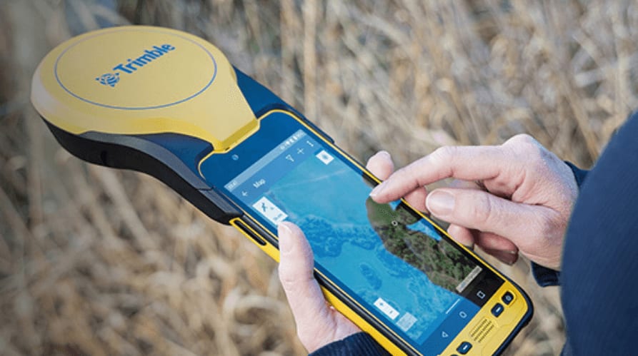
Trimble has introduced the Trimble TDC650 handheld, a high-performance data collector designed for GIS data collection, inspection, and asset management. This rugged device offers scalable, high-accuracy GNSS positioning for fieldwork. Fully integrated with GIS applications, it uses the Trimble Software Development Kit (SDK) to provide precise positioning with apps like Esri ArcGIS Field Maps and Trimble TerraFlex. The TDC650 also allows users to select the accuracy level they need, down to the centimeter, to fit both their needs and budget.