
Remote Sensing & EO
The government of Seychelles embraces GIS for sustainable urban and coastal change.
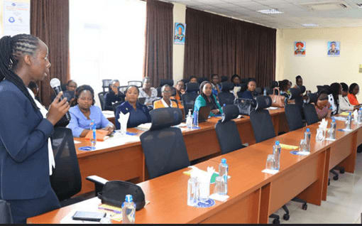
Seychelles governmental bodies computerized land data, map the coastal zones and urban areas, and integrate advanced GIS software to monitor environmental changes. The Parks and Gardens Authority takes ArcGIS Pro training, exhibits new mapping techniques, and develops spatial infrastructures, whereas the Ministry of Habitat and Lands optimizes real-time data capture and enables sustainable development projects.