
GIS & Mapping
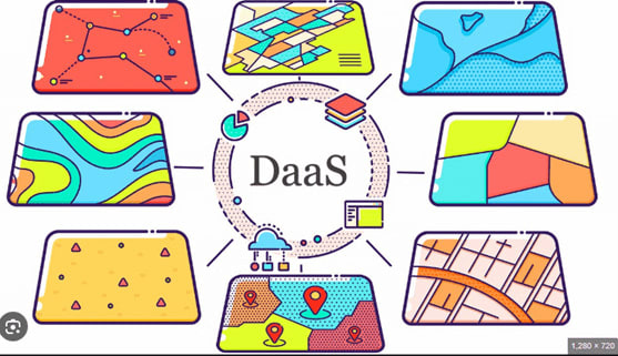
The geospatial industry in Kenya enforces real-time geospatial intelligence with DaaS (data as a service)
DaaS is revolutionizing GIS by providing transparent, API-enabled access to real-time geospatial data, without the need for manual collection and storage. Organizations can now access updated satellite imagery, traffic flow, or environmental metrics instantly, enabling more efficient urban planning, disaster response, and ecological monitoring.
Through the integration of DaaS into GIS environments, decision-makers can enhance predictive modeling, optimize resource allocation, and enrich spatial analysis without substantial infrastructure investment, thus facilitating data access as faster, scalable, and cost-effective.