
GIS & Mapping
Sydney Tree Canopy Data Reveals Urban Greening Progress and Stability
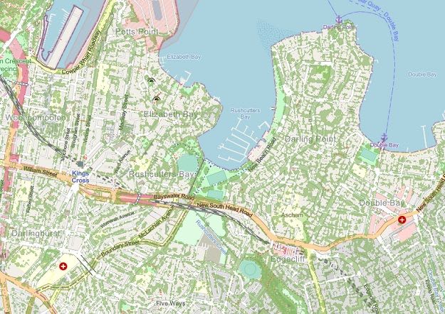
New geospatial data for Greater Sydney indicates overall stability in tree canopy cover, with notable gains in western suburbs due to urban greening programs. This detailed dataset, collected via aerial imagery, is now accessible on the NSW Government’s SEED portal for community and planning use.