
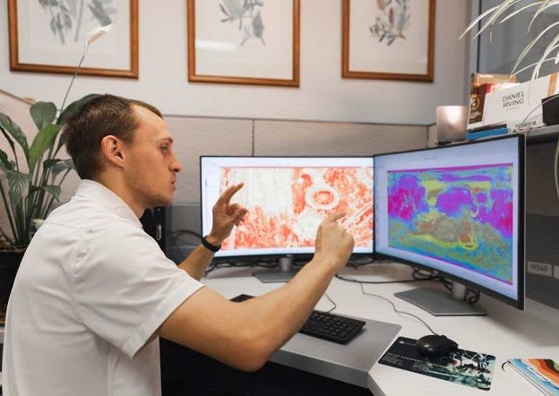
University of Sydney maps and classifies Martian soils into 2,000 classes
PhD student Daniel Irving and supervisor Professor Alex McBratney at the University of Sydney have produced what they describe as the first comprehensive classification and map of Martian soils. Published on 7 October 2026 in the journal Catena, the work uses orbital observations and models to classify almost 800 million locations on Mars.
The Provisional Polythetic Areth Classification System (PPACS) names Martian soil classes "areths" and arranges them into 10 realms, 100 assemblages and 2,000 forms, using texture, mineralogy, pH and profile thickness. The accompanying map covers 92 per cent of the planet's surface.
As a proof of concept, all classes were scored for plant-growing traits. Nohibareth ranked highest at 0.93, occurring on 0.14 per cent of the surface, mainly in the mid-latitudes around Tharsis, central Arabia Terra and Elysium Planitia. The map omits perchlorate toxicity, nitrogen and depth profiles, and relies on inferred inputs.
Why it matters: The work shows how orbital data and modelling can be combined into a multi-property soil classification for a planet with little ground data. The approach is relevant to digital soil mapping, and the authors suggest it may inform understanding of arid Earth soils.