
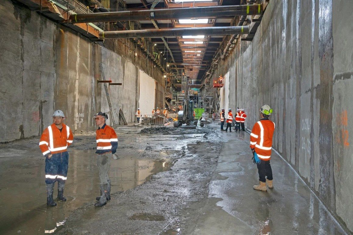
Surveyors create 3D legal parcels beneath Auckland for City Rail Link tunnels
Auckland's City Rail Link began passenger services on 13 September. The NZ$5.5 billion project includes 3.45 kilometres of twin tunnels under central Auckland, two new underground stations and two redeveloped stations.
Surveying firm CKL, which built up experience on Auckland's Waterview Connection, has handled the land legalisation where tunnels pass under private property. Its team defines the railway's space in three dimensions, with horizontal and vertical limits, creating legal "boxes" that are then represented in Land Information New Zealand's two-dimensional Landonline system.
CKL has lodged and had approved 30 survey plans across 14 property project zones. It has also worked on unit title developments and on land beneath public roads and station precincts. Survey Manager Simon Reid says the challenge is presenting complex plans clearly to non-surveyors. CKL expects its work to continue for another 12 to 18 months.
Why it matters: The project shows how 3D property rights for underground infrastructure can be recorded in a 2D cadastral system. Countries building metros and tunnels, including African cities, face similar questions about vertical parcels and land legalisation.