
GIS & Mapping
Senegal brings GIS forward for national transformation
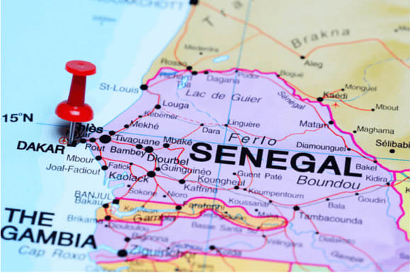
Senegalese government agencies are digitizing national records and integrating advanced GIS systems into strategic national planning in 2025. They are mapping urban and rural landscapes, strengthening spatial data infrastructures, and advancing transparent land governance—all while aligning geospatial innovation with the Senegal Digital Strategy to support sustainable development.