
Remote Sensing & EO
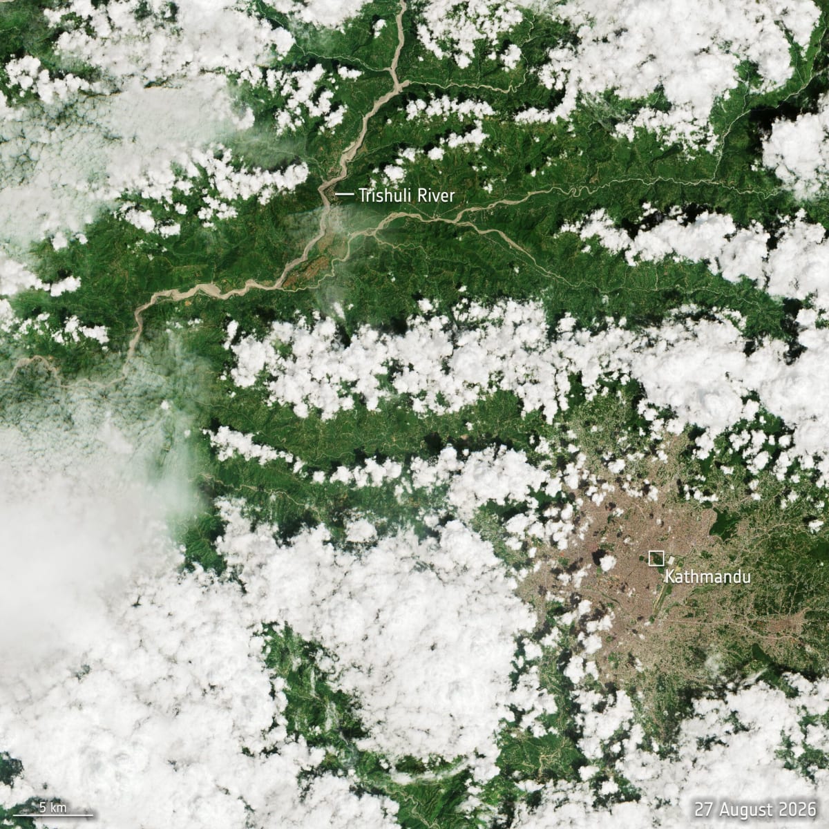
Satellite Imagery Aids Nepal Flash Flood Disaster Response and Recovery
Satellite imagery from missions like Copernicus Sentinel-2 and Landsat-9 is proving indispensable in assessing the scale of devastation from the recent Nepal flash flood. This data supports emergency responders, aids in recovery planning, and helps track long-term rebuilding efforts.