
Remote Sensing & EO
Satellite & Drone Imaging Enhances Solar Farm Vegetation and Fire Management
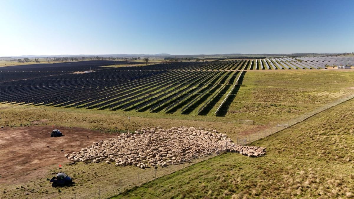
CSIRO and Macquarie University are using satellite and drone imaging to precisely map vegetation growth and fire risk at Acen's New England Solar Farm in NSW. This technology helps balance agricultural activities with solar operations, improving fire preparedness and grazing management.