
Remote Sensing & EO
Satellite Data Reveals Semarang Sinking 15.2 cm Annually Due to Groundwater & Geological Faults
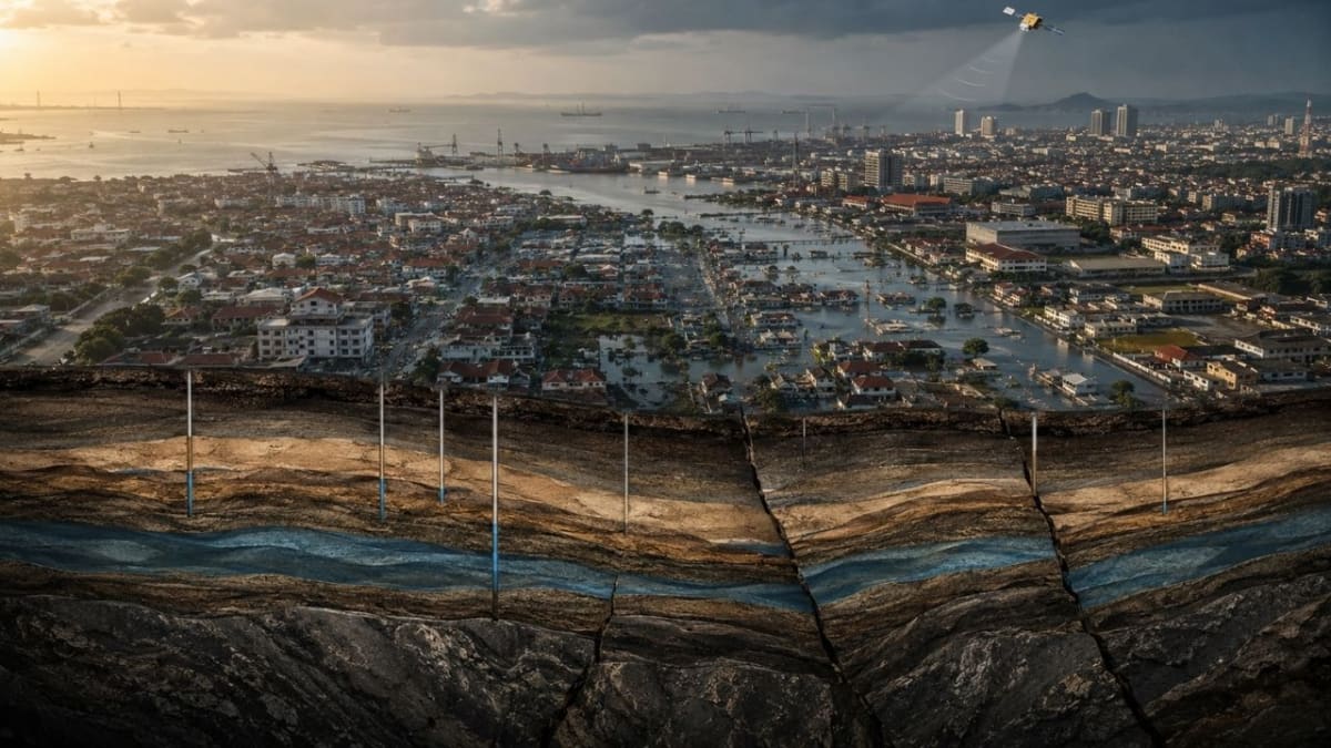
Satellite data from 2015-2025 reveals Indonesia's Semarang is sinking up to 15.2 cm annually, driven by groundwater extraction, aquifer compaction, and deep geological faults. This rapid subsidence intensifies coastal flooding, posing a significant threat to the urban area.