
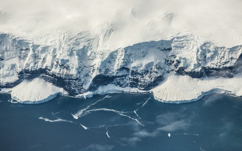
ICESat-2 data show Antarctic ice cliffs retreat fast but stabilise
Researchers at MIT and the Woods Hole Oceanographic Institution, with the University of Michigan, analysed more than 15,000 Antarctic ice cliffs using NASA's ICESat-2 laser altimeter. Measurements were taken roughly every three months from 2019 to 2023, and the study was published in Science on 15 October 2026.\n\nThe average cliff stood about 30 metres tall, well below the 100-metre threshold assumed in marine ice cliff instability models, though a few exceeded it, the tallest reaching 127 metres. The tallest cliffs retreated faster than models predicted, but the retreat was short-lived rather than a runaway collapse. Thicker mélange, deeper water and rises in the underlying bed topography all helped stabilise cliffs. Lead author Caroline Needell said bed topography and ice thinning rates must be known to represent the process correctly.
Why it matters: The work shows repeat satellite laser altimetry can test ice-sheet model assumptions directly. It also stresses the need for good bed topography data in sea level projections, which matter for coastal planning, including in Africa.