
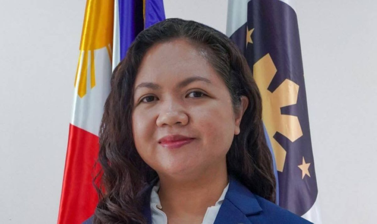
PhilSA explains how satellite data supports Philippine disaster response
In an interview with The Manila Times, Philippine Space Agency (PhilSA) Director General Gay Jane Perez described how the agency turns Earth observation imagery into disaster extent maps covering floods, landslides, volcanic activity and earthquake damage. These are shared with national agencies and local government units.
Perez said processing and distribution can take as little as 6–8 hours after data acquisition, though usable imagery is the main constraint. Optical sensors struggle under typhoon cloud, so SAR is used, although it is less accurate in dense urban and heavily vegetated areas, and maps are validated on the ground. Revisit times also limit coverage.
She argued that sovereign satellites reduce reliance on paid high-resolution imagery and on queues under the Disasters Charter and Sentinel Asia. Trained AI models detect change across image dates to confirm flooding. The planned MULA satellite would add higher-resolution multispectral imagery, and a constellation would improve revisit frequency.
Why it matters: The interview sets out practical limits and turnaround times for satellite-based disaster mapping, and the case for national satellite capacity over reliance on charter data. African agencies weighing sovereign Earth observation assets face similar trade-offs.