Remote Sensing & EO
São Tomé and Príncipe reforms GIS management through computerizing cadastral information
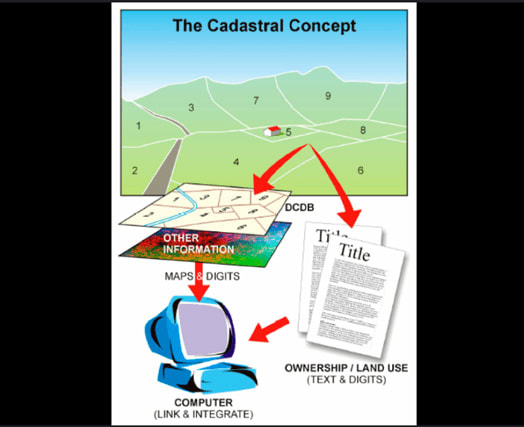
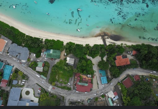
In 2025, São Tomé and Príncipe government departments are computerizing cadastral information and mapping urban and littoral areas, integrating satellite imaging with ground surveys to monitor environmental changes and guide sustainable development initiatives. The municipal governments are instituting state-of-the-art GIS applications and refining spatial data infrastructures, enabling real-time observation of land use, climate adaptations, and coastal erosion.